NOAA-CNES Argos-4 Reaches Orbit
Ocean News
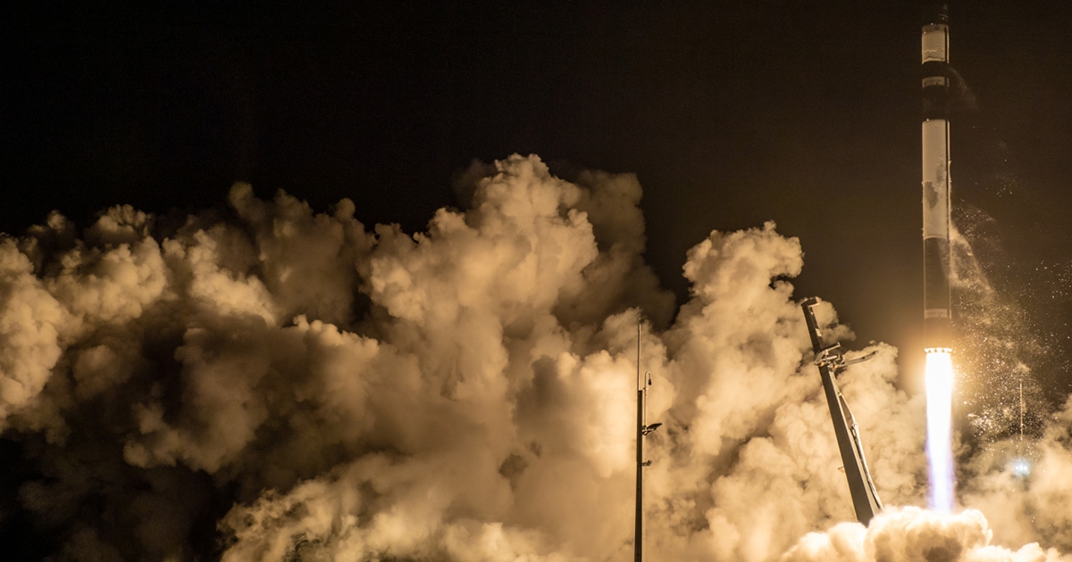
Image from the launch of the NOAA/CNES Argos-4 instrument that lifted off at 1:09 pm EDT on October 7, aboard a General Atomics GAzelle satellite from Māhia Peninsula, New Zealand. (Rocket Lab)
Argos-4, an advanced instrument designed to improve knowledge of Earth’s environment, ecosystems, and biodiversity, roared into orbit at 1:09 pm EDT on October 7, from Māhia Peninsula, New Zealand.
The instrument, developed in a partnership between NOAA and CNES, the French Space Agency, flew as a hosted payload aboard the General Atomics GAzelle satellite on a Rocket Lab Electron spacecraft.
CNES provided Argos-4 to NOAA to continue the Argos Data Collection System (Argos DCS), which dates back to 1978. Argos is a polar-orbiting satellite-based system that captures, processes and distributes environmental data — ranging from atmospheric pressure and sea surface temperatures to wildlife monitoring and marine animal tracking — from fixed and mobile platforms around the world, including inaccessible areas, such as oceans, deserts and polar regions.
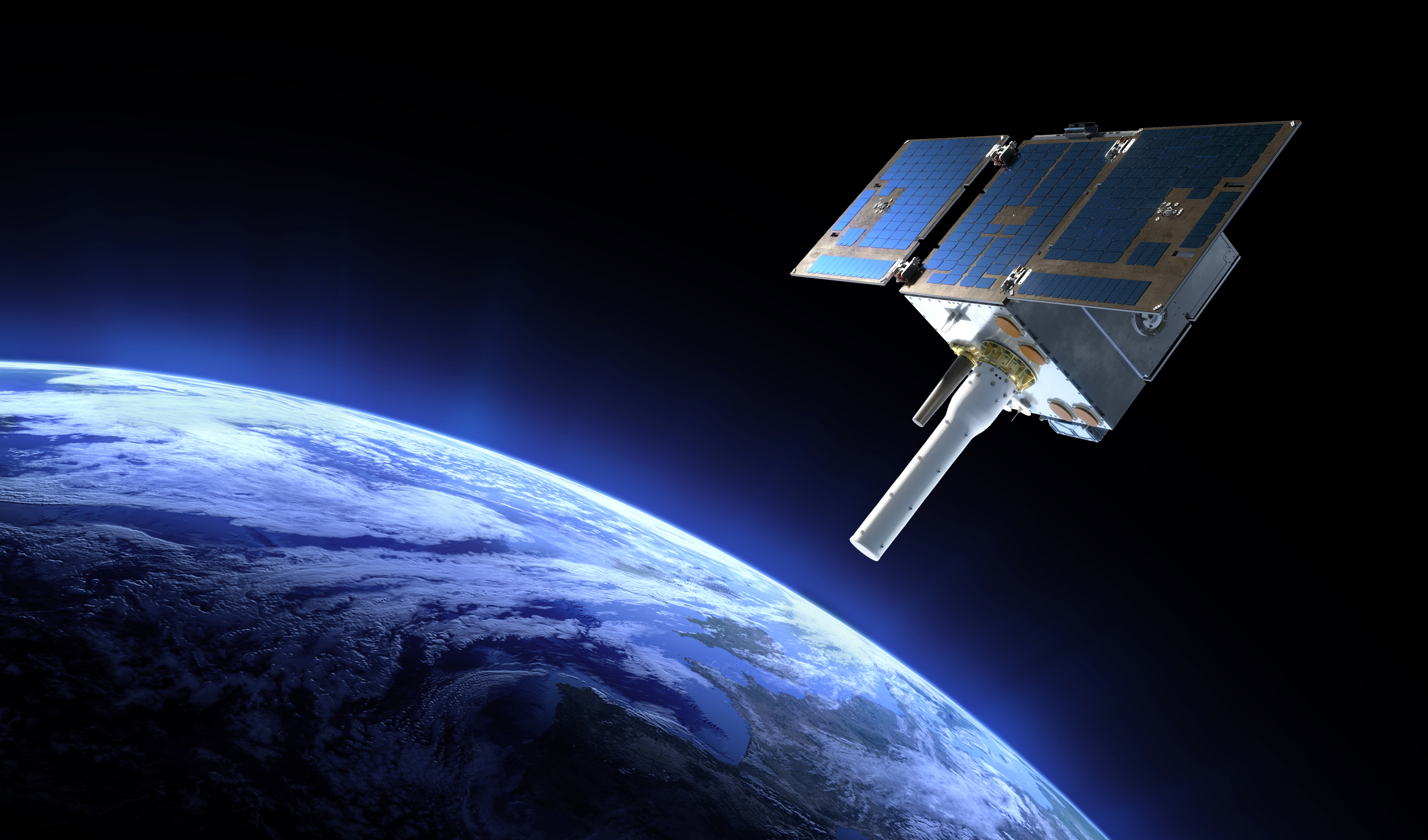 An artist's rendering of the General Atomics GAzelle satellite, carrying the Argos-4 instrument. (General Atomics)
Argos-4 will also help monitor offshore pollution and assist with maritime security and humanitarian aid missions.
"With its improved technology, Argos-4 will help take the pulse of Earth's environment and provide greater value and benefit to a range of users around the world today and into the future," said Steve Volz, Ph.D, director of NOAA's Satellite and Information Service.
NOAA Fisheries is the top user of Argos data. “The near real-time information satellites provide about our environment and how it’s changing is essential to every aspect of NOAA Fisheries’ mission,” said Janet Coit, assistant administrator for NOAA Fisheries. “The enhanced data-collection capabilities of Argos-4 will improve our ability to manage sustainable fisheries, conserve protected resources, monitor marine heatwaves and take action to support the resilience of our communities.”
General Atomics will conduct an initial checkout of Argos-4 between 10 and 15 days after launch. Then, CNES will calibrate the instrument for three to six months before Argos-4 is fully integrated into the Argos DCS.
NESDIS, through its Office of Projects, Planning, and Analysis, enables the integration, launch and operation of the Argos DCS instruments. The Argos program is administered under a joint agreement between NOAA and CNES, with additional partnership with the European Organization for the Exploitation of Meteorological Satellites and the Indian Space Research Organization.