In an industry that has spent thirty years using cutting-edge technology to drive down risk, methane measurement has remained stubbornly manual. That is now changing, and the change is being proven, flight by flight, across the North Sea.
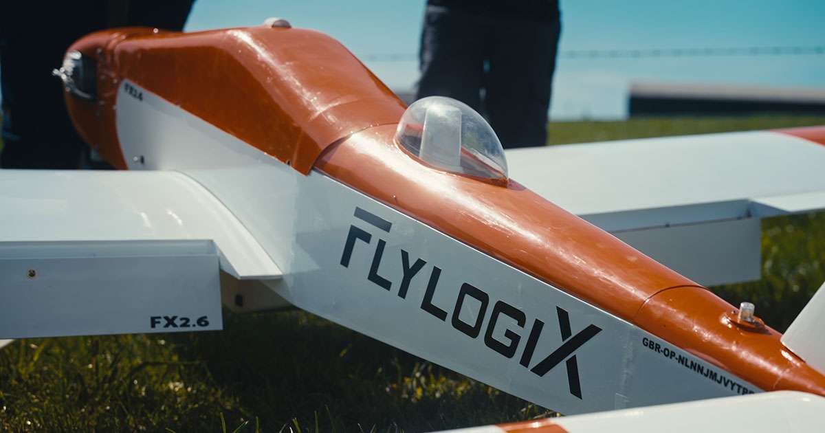
At Flylogix, we’ve spent the last several years building a straightforward proposition; accurate, top-down methane measurement of offshore assets, flown from the coast, with nobody offshore at all. Our uncrewed aircraft launch from onshore airfields, fly beyond visual line of sight using satellite communications and precision navigation, and return with verified, OGMP 2.0-aligned emissions data within hours, not weeks.
The proof of this approach has been in the breadth of adoption; across the UK Continental Shelf the lion’s share of operators now rely on this method for measuring, reporting, and reconciling their emissions. Flylogix currently works with the likes of Adura, NeoNext+, Ithaca Energy, EnQuest and CNOOC, and our approach is fast becoming standard practice for a basin determined to meet its methane commitments without adding cost or risk to do so.
Reaching New Heights
This year, we took that model across a maritime border for the very first time. In July, one of our aircraft flew from Tingwall in Shetland into Norwegian waters to survey Equinor’s Statfjord B platform. A round trip of 290 nautical miles and just under five hours, it was the first civilian cross-border drone flight of its kind between the UK and Norway.
This feat required genuine navigation and communications precision, including a coordinated handover between UK and Norwegian air traffic control, satellite-linked command and control throughout, and an aircraft capable of holding station safely close to a 40-year-old installation in the middle of the North Sea.
Avinor, Norway’s air navigation provider, rightly called it a milestone for integrating uncrewed and crewed aviation in a genuinely demanding environment. For us, it confirmed that what we’ve built in the UK isn’t a UK-only solution, it’s exportable.
Regulatory Shifts
That matters because the regulatory tide is turning everywhere at once. The EU’s methane regulation is tightening import requirements through the end of the decade. Brazil’s ANP is finalizing its own methane framework. The US Gulf is seeing operators pursue independent emissions certification. Guyana and Malaysia are both moving toward tighter monitoring and reporting expectations as their offshore sectors mature. Every one of these basins will face the same question the North Sea has already answered around gathering accurate, defensible emissions data while removing people, cost and risk from the equation wherever possible.
We believe the North Sea has become the proving ground for the answer. Having built the safety case, the regulatory relationships and the operational track record here, our task now is to take that model to the basins that need it next. The technology already works and our job is to make sure the rest of the world knows it.