
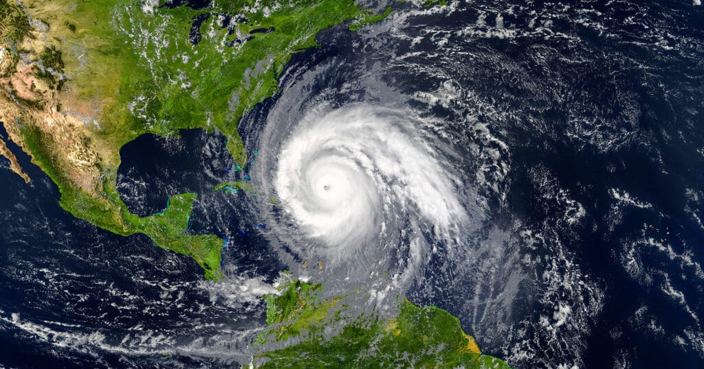
On July 29, 2025, a powerful earthquake struck eastern Russia. The event generated widespread concern across the Pacific Basin, triggering tsunami warnings in several countries, including coastal regions of Chile.
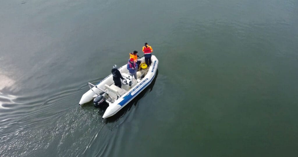
Just hours before the earthquake, San Diego State University assistant professor Dr. Ignacio Sepúlveda met with Innovex engineers Jorge Santamarina and Nicolás Donoso in Valdivia, Chile. When the news of the earthquake broke, Dr. Sepúlveda called back with a proposition: would it be possible to gather in-situ measurements of currents in the river as the predicted tsunami struck?
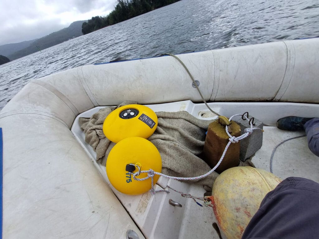
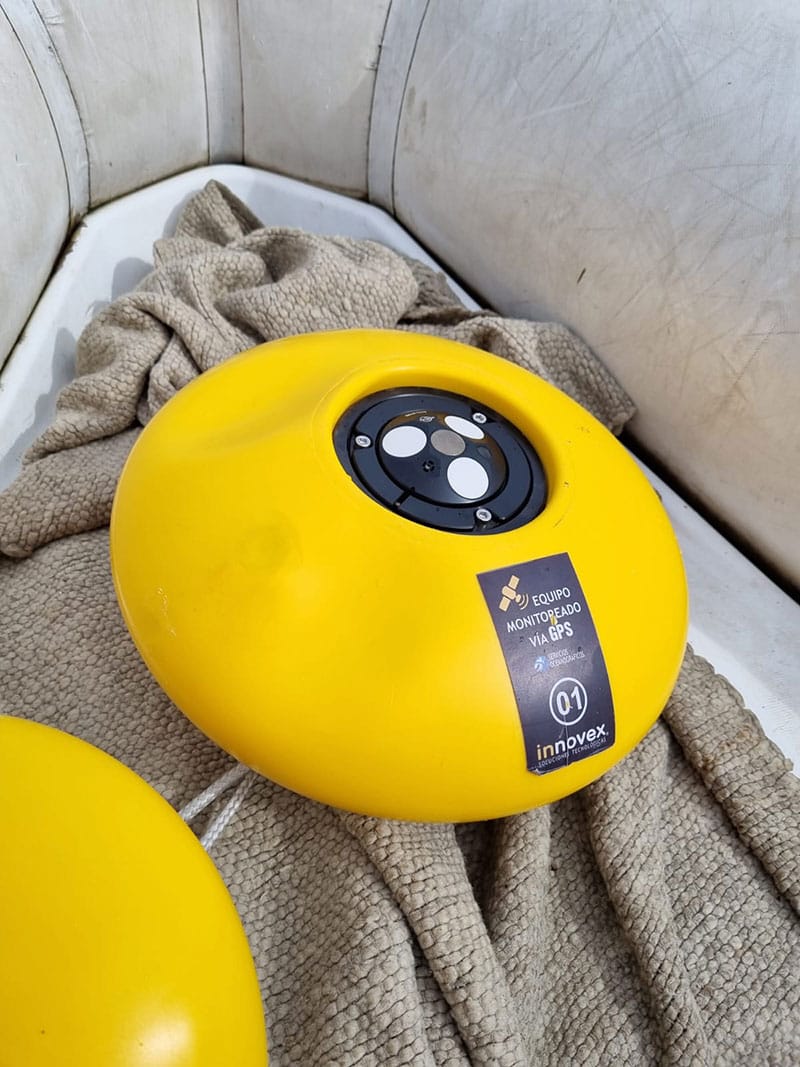
After coordinating with the Valdivia Yacht Club, the team set out to deploy Innovex’s Eco ADCP from Nortek, a solution that ensured a quick and straightforward setup in a timelimited situation.
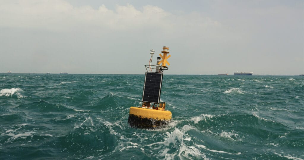
The Nortek Eco ADCP. (Credit: Nortek)
Quick-response Deployment
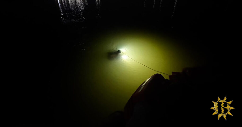
At around 2 pm local time, the team deployed the Eco ADCP at a depth of 9 m in the Valdivia River using the Nortek Eco buoy system with a timed release, setting up the ADCP to measure in two-minute intervals. The rapid deployment allowed the team to evacuate by 3:30 pm, with around two hours to spare before the anticipated time of the tsunami’s arrival.
The team retrieved the ADCP four days later and correlated the recorded data with a nearby coastal tide gauge station. The data suggested that the tsunami wave took approximately 20 minutes to propagate upstream to the location of the ADCP. While the maximum impact was felt a few hours after the tsunami’s arrival, the data showed that the hydrodynamic response of the river persisted for two to three days.
Calibrating Tsunami Models
Measuring currents in a river during a tsunami may at first seem counterintuitive, however, understanding the varied interactions between local waters and the tsunami is an important step in helping to predict immediate and lasting impacts on the surrounding environment.
However, these interactions between tsunamis, rivers, and tides have rarely been measured and studied in real life. The team’s quick thinking—with access to the right tools for the job—enabled one of the only in-situ measurements of currents in a river during a tsunami event.
“This measurement will be critical to help calibrate new models that can simulate the coupled interaction of tsunami, tides and rivers,” according to Dr. Sepúlveda.
The Nortek Eco ADCP. (Credit: Nortek)
Improved Monitoring
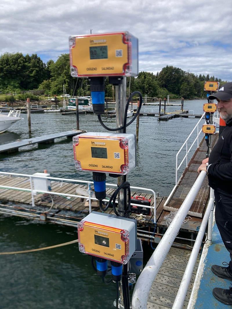
“Today, we are better prepared to rapidly deploy instruments and collect high-quality insitu data during extreme events such as tsunamis and other coastal hazards,” added Nicolás Donoso of Innovex. “What began as an urgent, improvised response has evolved into a long-term monitoring and scientific collaboration that improves our readiness, resilience, and contribution to understanding complex coastal systems.”
