This strategic partnership is an opportunity for CADDEN to expand its offering with systems specially designed for underwater photogrammetry, offering unrivaled image quality and precision in the capture and analysis of underwater environments. Renowned for their accuracy and reliability, Voyis’ solutions are transforming the way underwater operators collect, visualize, and analyze data.
High-Performance Technologies
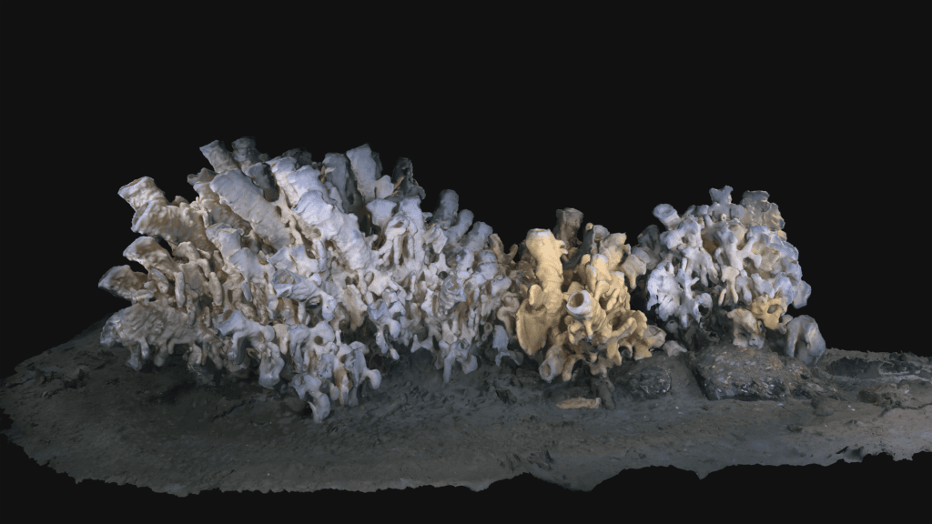
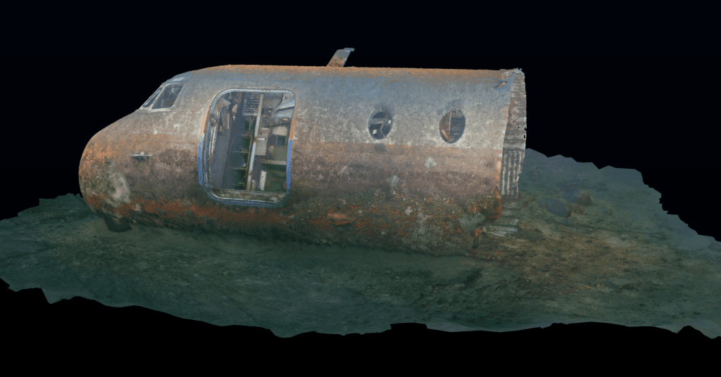
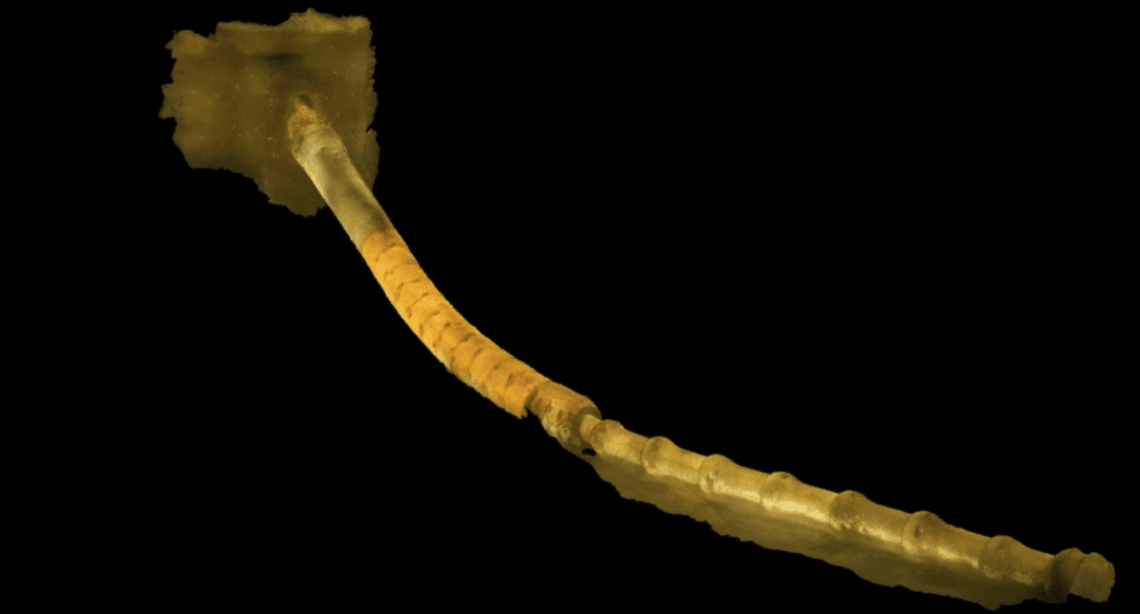
Supplier Voyis is renowned for its solutions capable of producing detailed, accurate 3D models, even under extreme conditions. These solutions are particularly well suited to underwater inspection (offshore wind farms, shipwrecks, aircraft wrecks, underwater cables, coral reefs, etc.).
“We are delighted to add Voyis to our portfolio of partners. Their expertise and visionary approach perfectly complement our mission to support our customers with ever more effective solutions,” declared Gilles DANDEC, CADDEN’s founder.
With Voyis, CADDEN confirms its commitment to providing state-of-the-art tools to meet the most complex challenges of underwater environments.
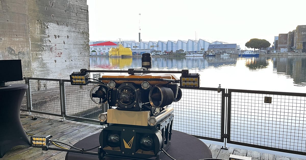
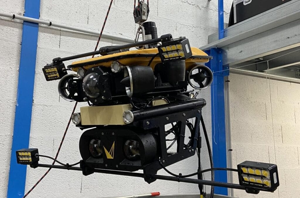
Integration of the Discovery Stereo Camera on an ROV
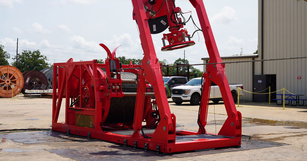
As part of its Technical Day, the CADDEN team carried out an integration of Voyis’ “Discovery Stereo” vision system on the Oceanus Pro underwater drone from supplier MarineNav. This camera model requires no calibration and only a connection to the vehicle.
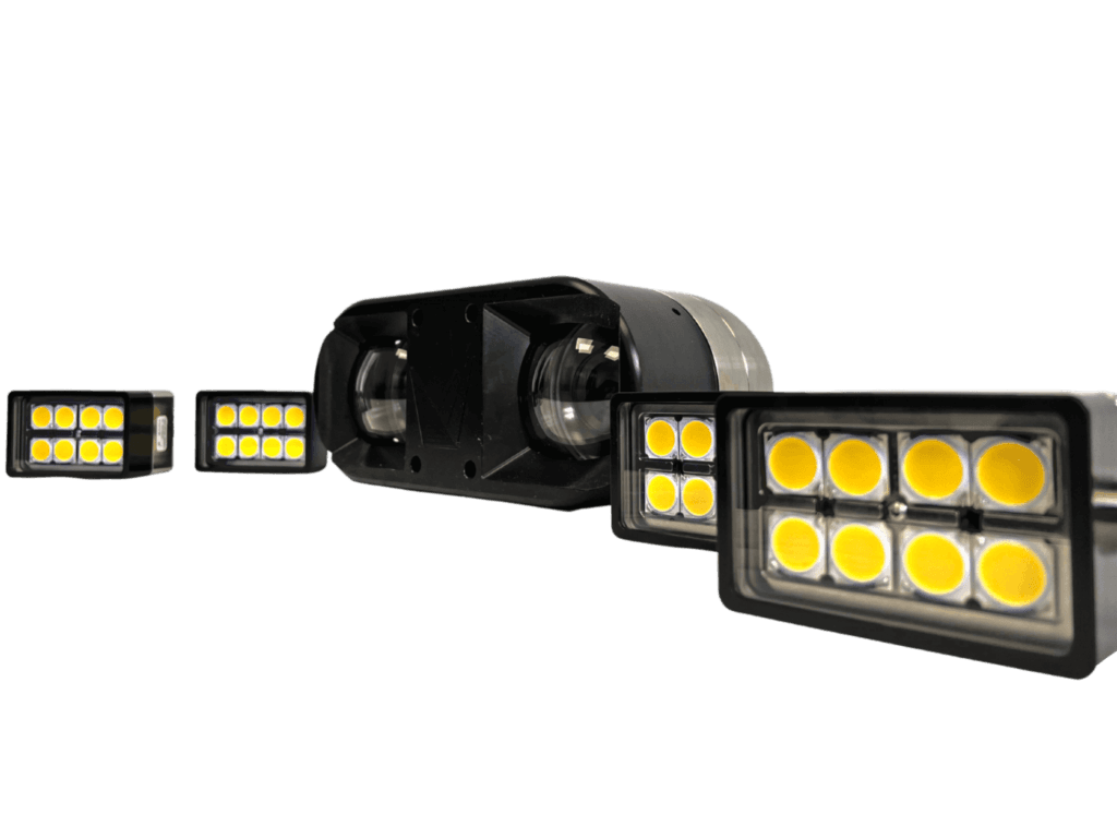
This compact underwater photogrammetry camera can operate at depths of up to 4000 m, and its wide field of view delivers a low-latency 4K video stream with high-resolution optics and real-time image enhancement. Sharp still images facilitate computer vision and 3D modeling. For real-time 3D reconstruction and coverage mapping, the Discovery Stereo camera is supplied with VSLAM (Visual Simultaneous Localization and Mapping) software Powered by EIVA NaviSuite.
The VSLAM solution acquisition and visualization software generates a 3D model of the environment in real time to optimize obstacle avoidance, detail gathering (such as defect detection), target tracking, and dynamic trajectory planning. It also integrates IMU data, vehicle navigation, and high-dynamic range images.