Lidar to Characterize Atmospheric Turbulence
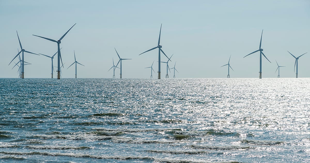
While the installation of anemometers on offshore deployed masts is excluded due to the high cost of installation, operation, and maintenance, the use of remote sensing devices such as profiling lidar is promising.
Similar to radar but emitting laser pulses of infrared light instead of radio waves, lidar sensor analyses the properties of the wave returned from the target. Less expensive than using anemometers at sea, when deployed on a buoy, this technology is now certified for wind resource estimation. However, it is not widely used to characterize atmospheric turbulence due to the lack of proper algorithms to derive turbulence metrics from the lidar signal.
A New Data Set and Valuable Recommendations
A Vaisala WindCube v2.1 profiling lidar (certified to IEC 61400-12-1 standard) was deployed in December 2022 on Planier Island. Located 9 km offshore, this site allows the capture of undisturbed atmospheric phenomena representative of the conditions encountered at floating offshore wind farm sites in the Mediterranean. At the end of the first 12 months of the acquisition campaign, the measurements taken with lidar enabled us to compile an unprecedented set of data (mean winds and direction, turbulence intensity, shear, occurrence and intensity of low-layer jets). As a result of this work, recommendations have been drawn up for calculating the forces induced by the wind on turbines. This information is invaluable for optimizing system design and increasing the profitability of projects, especially in the Mediterranean Sea.
Floating Lidar and Turbulence Intensity Measurement
For wind measurements at sea, lidar is generally deployed on buoys, which induces challenges in retrieving wind and turbulence information due to the buoys’ motion. With this in mind, the POWSEIDOM project team tested a lidar installed on a mobile platform reproducing the movements of a buoy deployed at sea. The measurements obtained were compared with those of a fixed lidar, and a preliminary version of a motion compensation algorithm for measuring turbulence was developed. These results were published in an international peer-reviewed journal called Remote Sensing in April 2024.

Work on the POWSEIDOM JIP is continuing as part of the DRACCAR-NEMO JIP, which started in 2023. Co-led by France Energies Marines and the German reference institute Fraunhofer IWES, this project aims to provide the industry with high-performance measurement and modeling tools for assessing turbulence on any type of site in order to optimize the design of offshore wind turbines and farms.