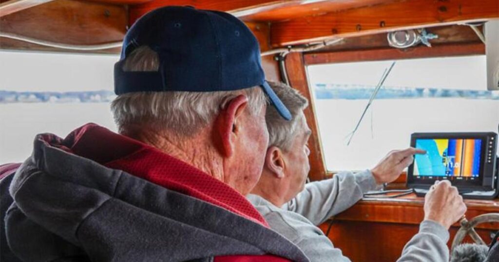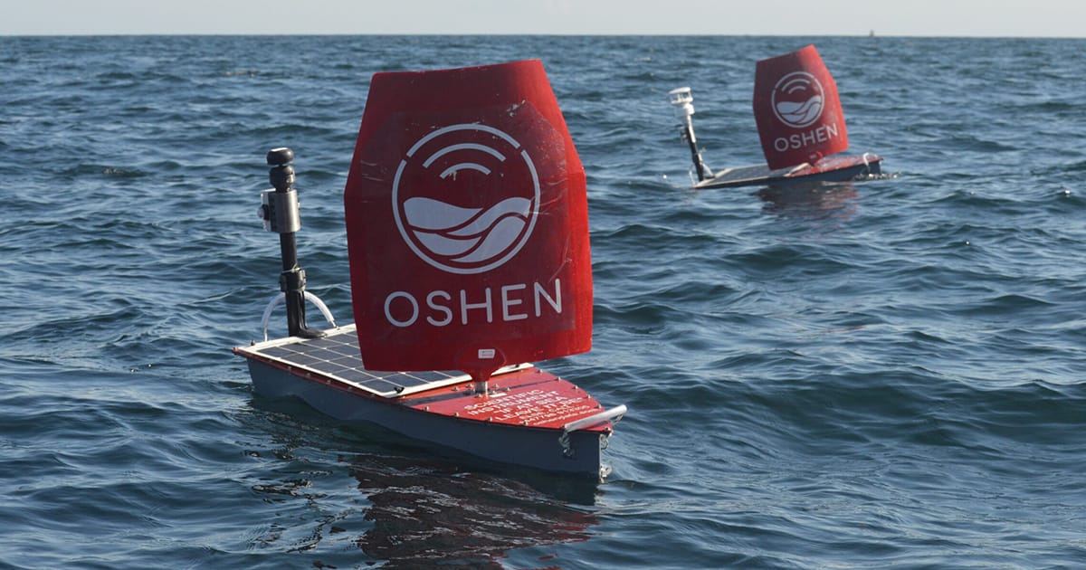
Researchers from OAR’s Atlantic Oceanographic and Meteorological Lab (AOML) and Pacific Environmental Research Lab teamed up with Oshen, a UK-based ocean robot company, and the University of Southern Mississippi to pioneer a new data-collecting ocean robot that intercepted Hurricane Humberto to become the first uncrewed surface vehicle ever to capture and transmit data from inside a Category 5 hurricane.
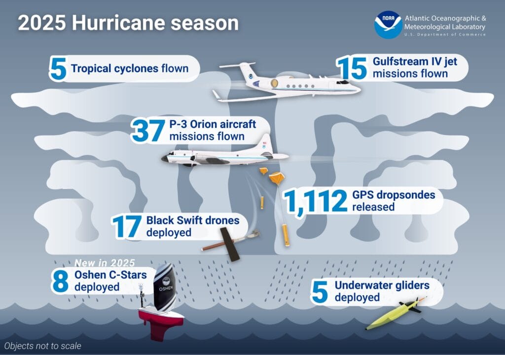
The mini ocean robots, called C-Stars, provided NOAA’s National Hurricane Center (NHC) with key information about low air pressure inside Humberto, which was reported in an official forecast discussion. Scientists deployed eight of these lightweight, four-foot-long uncrewed sailboats with solar-powered sensors to gather wind speed and direction, sea surface temperature, air temperature, air pressure, and relative humidity.
“We learned a lot and proved that these are valuable, cost-effective systems that can be deployed rapidly,” said Greg Foltz, AOML oceanographer and co-principal investigator. “We’ll be able to build on this.”
Records Broken in the Air
The season also allowed NOAA to continue to explore new ways to peer inside storms from the air. OAR AOML worked with pilots, engineers, and other crew from NOAA’s Office of Marine and Aviation Operations to successfully deploy 17 Black Swift uncrewed aircraft from aboard NOAA Hurricane Hunter aircraft in five hurricanes during the 2025 season. These uncrewed aircraft, developed by Black Swift Technologies, flew a record-breaking 120 minutes at low altitudes in Hurricane Melissa, and another Black Swift uncrewed aircraft captured video inside Melissa.
“Each year, as we do more deployments, we get closer to being able to use these tools in routine operation,” said Joe Cione, lead meteorologist at AOML’s Hurricane Research Division, of the Black Swift, a 2.75-pound aircraft with a wingspan of 54.6 inches. This year, Cione and the team developed a new flight maneuver with the Black Swift to keep it nearly in place over a specific area of interest to gather measurements.
Another measurement record was broken when AOML scientists analyzing dropsonde data from Hurricane Melissa identified a dropsonde released from a NOAA Hurricane Hunter aircraft that recorded a wind speed of 252 mph, breaking the record for the strongest wind ever recorded by a dropsonde. Melissa was the strongest hurricane of the 2025 season.
NOAA Provided Data from an Array of Ocean Sensors
During Hurricane Erin, NOAA’s Argo floats and drifters provided insights into the storm. Data from Argo floats transmitted pre- and post-storm ocean conditions. Thirteen NOAA-funded drifters were in position to collect and transmit real-time data from the storm. During Hurricanes Gabriele and Melissa, NOAA coordinated deployments of drifters and dropsondes to be near existing ocean glider paths as part of the Coordinated Hurricane Atmosphere-Ocean Sampling Experiment led by NOAA’s Global Ocean Monitoring and Observing Program.
Bringing together observations taken in the same general area by sensors at different levels of the ocean and atmosphere provides researchers with detailed information to better validate observing systems, advance forecast models, and improve hurricane prediction.
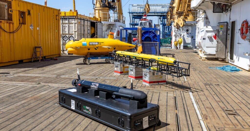
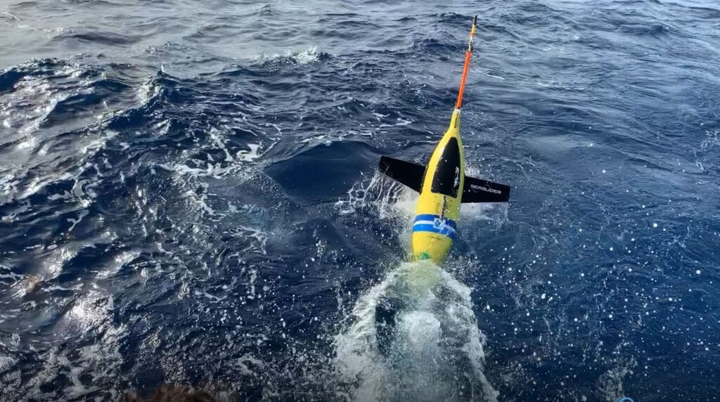
AOML and partners deployed five underwater gliders in the Caribbean Sea and the North Atlantic this season. The uncrewed gliders collected and transmitted ocean temperature and salinity data to the Global Telecommunications Center for use in NOAA and other forecast models around the world. Hurricane Erin passed over three NOAA and partner gliders, which provided observations of intense cooling that was noted by NHC forecasters. Cooling can be a signal that a hurricane is losing strength.
Testing New Hurricane Prediction Tools and Forecast Models
This hurricane season, the NHC tested a new application of the Hazard Services warning system developed by NOAA’s Global Systems Lab that may be able to improve the way storm surge warnings and alerts are communicated to the public. Testing is an essential step toward putting a new system in place.
AOML tested several next-generation configurations of the Hurricane Analysis and Forecast System (HAFS). The work focused on upgrading the new multi-storm version of HAFS, which can simulate multiple storms at once. Tests of a HAFS experimental model also demonstrated its ability to extend forecasts beyond five days out to seven days.
During the season, scientists at NOAA’s Geophysical Fluid Dynamics Lab conducted real-time seasonal hurricane forecasts using GFDL’s high-resolution Seamless System for the Prediction of Earth system Research (SPEAR) and shared these forecasts with the National Weather Services’ Climate Prediction Center and NHC. These seasonal forecasts directly support the NWS official May and August hurricane outlooks. The Journal of Climate published an assessment this year showing that SPEAR provides skillful seasonal predictions across multiple ocean basins, with performance that matches or exceeds earlier generation models.