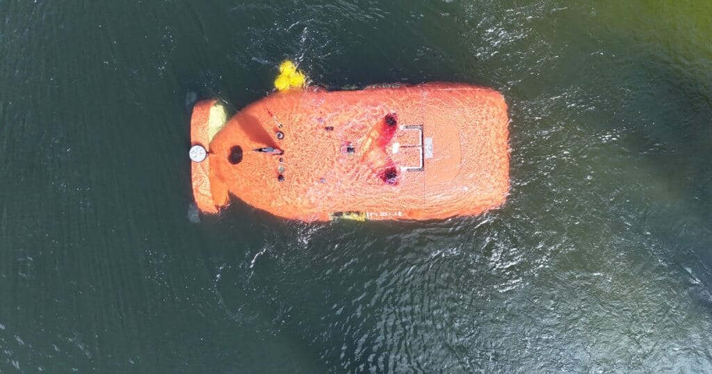
Real-Time and Local Measurement
Traditional weather forecasts and satellite-based models rely on calculations and statistics, and may deviate from the actual, local conditions. When waves turn out to be higher than forecast, it can have serious consequences for both vessel and crew—particularly for coastal fishers operating smaller boats.
With Smart Ocean’s new feature, users get an updated and realistic indication of sea state where they are operating, enabling them to plan and act based on actual conditions—not assumptions.
Feedback from Users
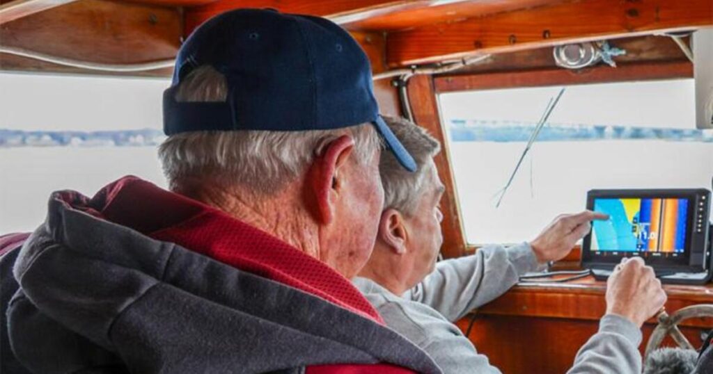
“During storm Amy, I really got to see the value of Smart Ocean’s new wave indicator. It clearly showed how the sea built up in real time—far more accurately than the weather forecast. After the storm, I used the app to relocate my pots, which had been moved several hundred meters, with an impressive accuracy within five meters,” said John Olav Florø-Larsen, fisher and Smart Ocean user.
Not Just for Fishers
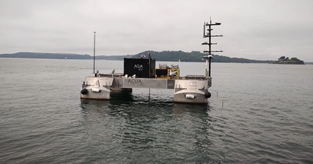
Smart Ocean is seeing strong interest from actors beyond the fisheries sector. Local wave indications are also useful for emergency response organizations, ports, and energy companies – all of whom depend on being able to monitor the conditions where they operate.
The feature is now active on all Smart Ocean buoys, and the company has already collected millions of data points. Users point to accuracy and ease of use as the most important advantages—especially how easy it is to follow conditions directly in the system.
“We are proud to contribute to safer and more predictable conditions at sea. This is an important step towards smarter and more sustainable use of ocean data—benefiting everything from fisheries and ports to energy and emergency response. Our technology is under continuous development, and we improve features in dialogue with fishers. Our goal is to enable everyone who depends on the sea to make better decisions based on actual conditions—to the benefit of industry, society, and the environment,” said Tore Halvorsen, CEO of Smart Ocean AS.