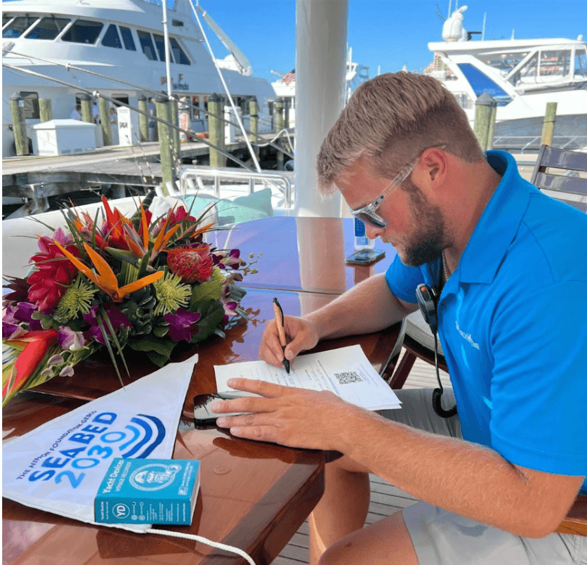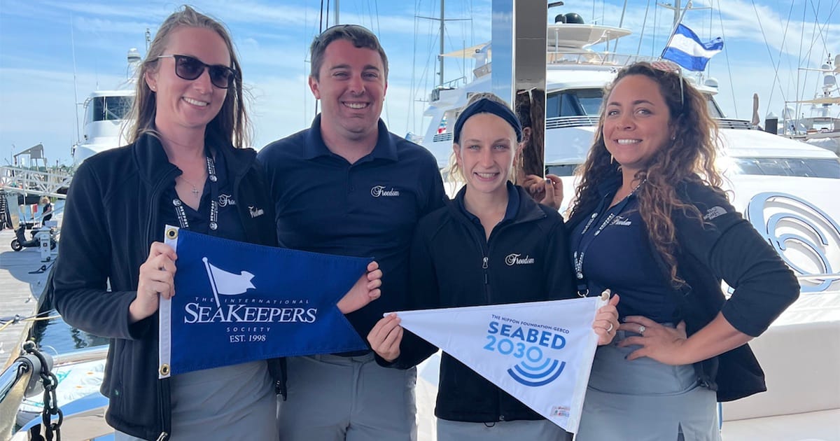
As part of the global Nippon Foundation-GEBCO Seabed 2030 Project, SeaKeepers has been mobilizing private yachts through its DISCOVERY Fleet since 2021 to collect vital seafloor data. Since 2017, both the International Hydrographic Organization and the Seabed 2030 Project have worked to encourage citizen scientists around the world to join the important cause of mapping the seafloor, and the impact is clear. In US waters alone, there has been an incredible increase in coastal mapping efforts since the launch of this project. Now, thanks to this citizen-powered effort, the National Oceanic and Atmospheric Administration (NOAA) has achieved a milestone never before accomplished at this scale.
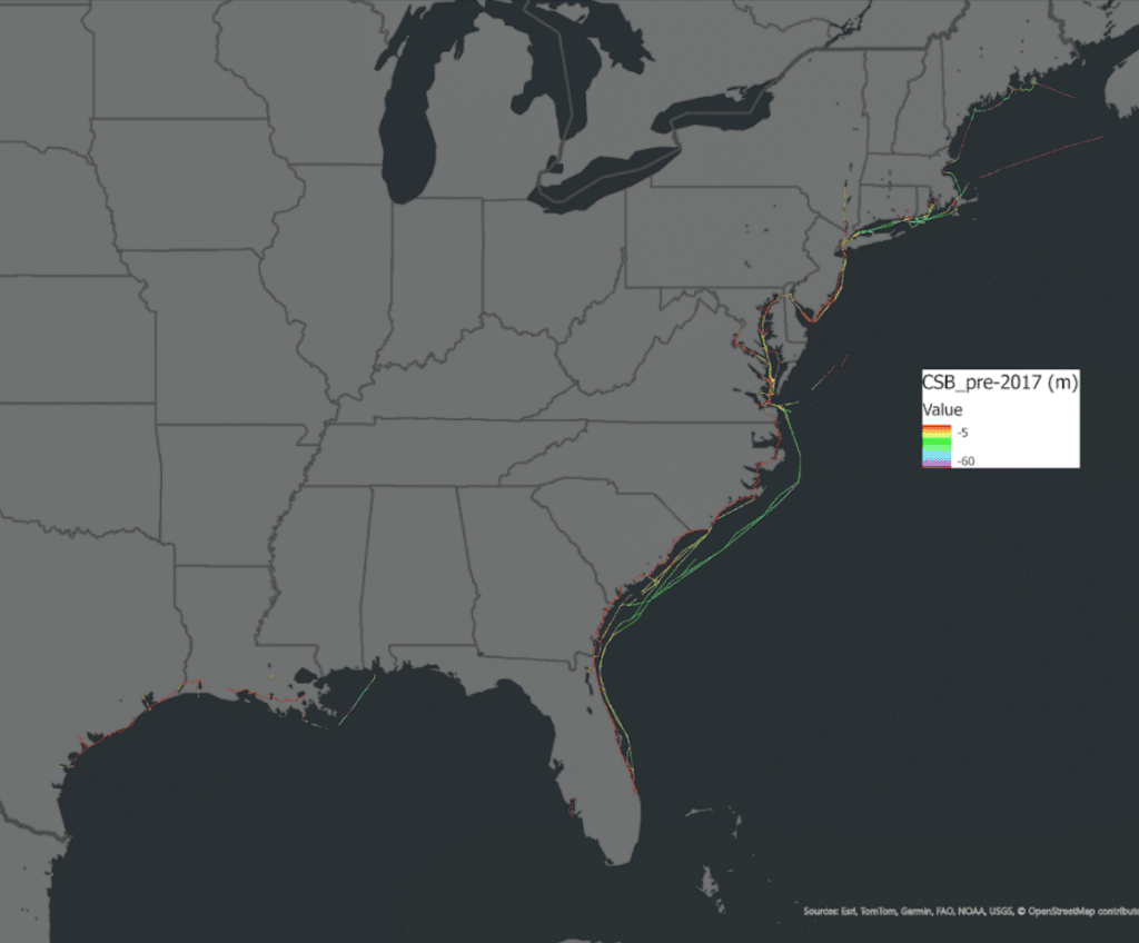
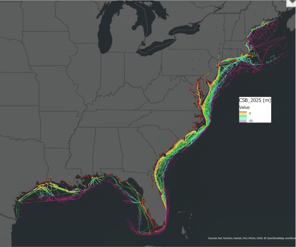
For the first time ever, NOAA has processed the entire body of publicly contributed crowdsourced bathymetric (CSB) data collected along the Gulf and Atlantic coasts of the United States, totaling over 315 million individual depth observations (accessible via the NOAA-hosted IHO Data Centre for Digital Bathymetry Data Viewer). These data were scraped from the publicly available Data Center for Digital Bathymetry under the International Hydrographic Organization. Of these, SeaKeepers DISCOVERY Vessels contributed more than 4 million data points, thanks to the hard work of 11 DISCOVERY vessels within their fleet. These data points, gathered by everyday vessels navigating familiar waters, have allowed researchers to look at poorly described and/or ever-changing seafloor features in a new light.
Haley Davis, SeaKeepers’ Data Scientist, commented: “This is a revolution in how we understand our oceans. What used to rely solely on dedicated and costly expeditions with specialized ships can now be accelerated with support from recreational boaters. Through our DISCOVERY Fleet, SeaKeepers is helping scientists see parts of the seafloor that were previously unmapped, as well as documenting important changes in seafloor shape over time. In this way, recreational boats are contributing not only to exploration but also to maintaining safe and navigable waterways for all who enjoy spending time on the water.”
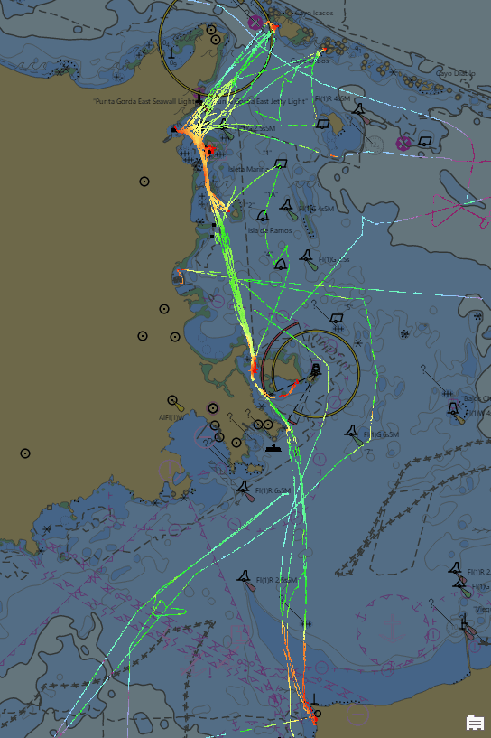
In many locations across South Florida and Puerto Rico, SeaKeepers DISCOVERY Vessels are providing data that sheds light on areas where the seafloor has historically been poorly understood or often changing, allowing hydrographers to allocate resources to official surveying or re-surveying. A great example of this can be found in the data collected by DISCOVERY Vessel Relaz, which has contributed important data to the characterization of the seafloor region between Puerto Rico, Culebra, and Vieques, according to NOAA Physical Scientist researcher Anthony Klemm.
Using advanced data-processing techniques, correcting for tides, accounting for vessel draft calibrating for equipment configurations, and filtering outliers with automated models, NOAA has turned scattered soundings into structured, actionable information. Each vessel transit has been parsed and annotated with metadata, which lays the groundwork for precise integration into NOAA’s BlueTopo, the official national bathymetry model.
With this publicly available information, NOAA analysts and hydrographers are looking toward the next steps by creating tools that highlight discrepancies between official nautical charts and publicly available CSB data. These internal tools are helping to inform the way hydrographic reviews and re-surveys are commissioned. Eventually, many are hoping to find a way to integrate this information into official nautical charts. While these changes may take time, NOAA, via the IHO, allows the public to discover and access all of this data to be used for a myriad of purposes through this valuable database.
“This is not just about filling gaps. It’s about documenting the changing nature of our Ocean. We’re uncovering seafloor features that have moved or shifted with storm activity and using these new and valuable data to improve the charts mariners rely on every day,” Davis added.
Seabed 2030, a joint initiative between The Nippon Foundation and GEBCO, aims to map 100% of the world’s ocean floor by 2030. With only about 25% of the seabed mapped to modern standards, contributions from citizen science are more critical than ever.
SeaKeepers is calling on more vessel owners to join the movement by applying to join the DISCOVERY Program. Every depth reading collected helps improve global ocean safety, environmental protection, and scientific discovery.