Data from the survey is available online for the public.
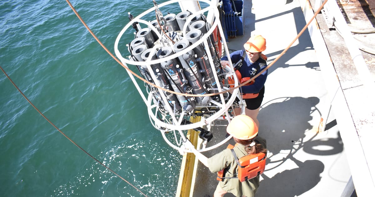
Scientists at Louisiana State University and the Louisiana Universities Marine Consortium (LUMCON) led the annual dead zone survey July 20-25 aboard LUMCON research vessel Pelican. This annual measurement is a key metric that informs the collective efforts of the Mississippi River/Gulf of America Hypoxia Task Force, which has set a long-term goal of reducing the five-year average extent of the dead zone to fewer than 1,900 square miles by 2035.
“This year’s significant reduction in the Gulf of America’s ‘dead zone’ is an encouraging sign for the future of this area,” said Laura Grimm, Acting Administrator of NOAA. “It highlights the dedication and impactful work of NOAA-supported scientists and partners and serves as a testament to the effectiveness of collaborative efforts in supporting our US fishermen, coastal communities, and vital marine ecosystems. We are proud of these achievements and remain committed to fostering the research and strategies that ensure the health and vitality of our oceans for generations to come.”

In June, NOAA predicted an average-sized dead zone of 5,574 square miles, based primarily on Mississippi River discharge and nutrient runoff data from the US Geological Survey. The measured size fell within the uncertainty range for NOAA’s ensemble forecast, demonstrating the overall accuracy of the underlying models and value in guiding nutrient reduction strategies.
While each NOAA-supported research survey provides a one-time snapshot of the dead zone, the five-year average captures the zone’s changing nature over time. The five-year average size of the dead zone is now 4,755 square miles.
How Dead Zones Form
Excess nutrients from the Mississippi-Atchafalaya River Basin stimulate an overgrowth of algae in the Gulf of America. When these algae die and decompose, they deplete oxygen in the water as they sink to the bottom. The resulting low oxygen levels (hypoxia) cause marine life, like fish and shrimp, to leave the area. Exposure to hypoxic waters has been found to alter fish diets, growth rates, reproduction, habitat use, and availability of commercially harvested species such as shrimp.
Hypoxia Task Force Efforts
In June 2022, the Environmental Protection Agency (EPA) established the Gulf Hypoxia Program to accelerate nutrient reduction actions by the Hypoxia Task Force and advance its Gulf Hypoxia Action Plan. As a result, the Hypoxia Task Force member states are scaling up their nutrient reduction strategies.
“The Gulf of America is a national treasure that supports energy dominance, commercial fishing, American industry, and the recreation economy,” said Peggy Browne, Acting Assistant Administrator of EPA’s Office of Water. “I look forward to co-leading the work of the Gulf Hypoxia Task Force to assess evolving science and address nutrient loads from all sources.”
Further Work to Better Understand and Predict Dead Zones
In addition to its annual hypoxia forecast and survey, NOAA’s Coastal Hypoxia Research, Ocean Technology Transition, Uncrewed Systems, and Hypoxia Watch programs support efforts to improve monitoring technologies and study the impacts of hypoxia. NOAA also partners with states to develop new tools to predict nutrient runoff into US waterways and supports the Northern Gulf Institute in delivering technical assistance, observation and monitoring capabilities.
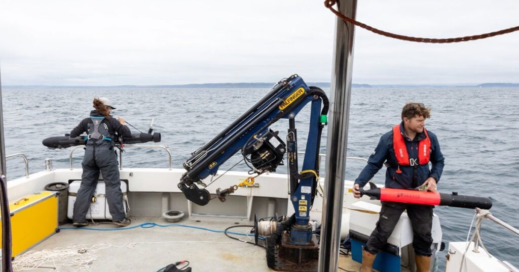
This year, several autonomous surface vehicles (ASVs) were deployed in coordination with the measurement survey, which will be compared with the ship-based measurements. NOAA scientists and partners continue to investigate the feasibility of using ASVs as an emerging technology to map hypoxia in the Gulf of America.