“NOAA’s mapping missions serve as a reminder that ocean exploration is a vital piece of our nation’s economic development,” said NOAA Administrator Neil Jacobs, Ph.D. “These images highlight the outstanding work of our NOAA team and partners to characterize the seafloor, and the data gathered during this historic project will enable science-based decision-making to support responsible development.”
The new images were collected as part of a Department of Commerce initiative to implement the US Offshore Critical Minerals Mapping Plan as defined by President Trump’s Executive Order 14285: Unleashing America’s Offshore Critical Minerals and Resources. In developing the mapping plan, NOAA, in consultation with the Department of the Interior’s Bureau of Ocean Energy Management (BOEM) identified the federal waters near American Samoa as a priority area of the seabed for mapping and analyzing nodules that may contain critical minerals.
“NOAA’s work to map and characterize these areas reflects the strength of interagency collaboration under President Trump’s Executive Order to unleash America’s offshore critical minerals,” said BOEM Acting Director Matt Giacona. “For BOEM, NOAA’s high-resolution mapping and characterization are essential inputs that will provide the foundational data needed to assess resource potential, inform leasing and environmental reviews, and reduce uncertainty as we evaluate future offshore mineral activities in a responsible, science-based manner.”
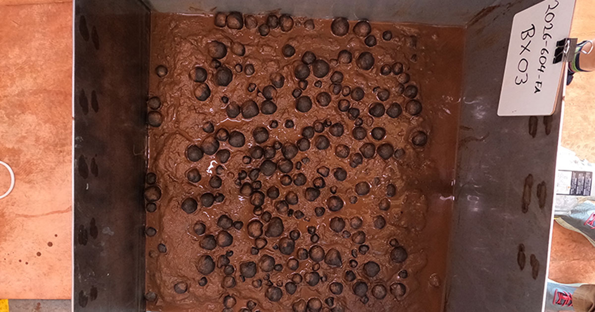
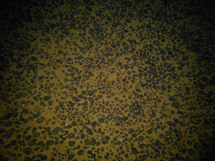
As the mission remains underway, images of the seafloor and box core samples will be posted online on a rolling basis, serving as an initial indication of mineral resource potential and the deep-ocean marine environment in the federal waters off American Samoa. Scientists from the US Geological Survey (USGS) will conduct analyses of the seafloor composition, which will enhance scientific understanding of the deep seabed in the region and inform future exploration and activities related to deep seabed minerals. USGS plans to release the initial analyses from this work early this summer.
“USGS is excited for the opportunity to study the composition of these unique mineral samples in US waters within the Samoa Basin,” said Ned Mamula, director, USGS. “We will continue providing the actionable science our partner agencies need for decision-making.”
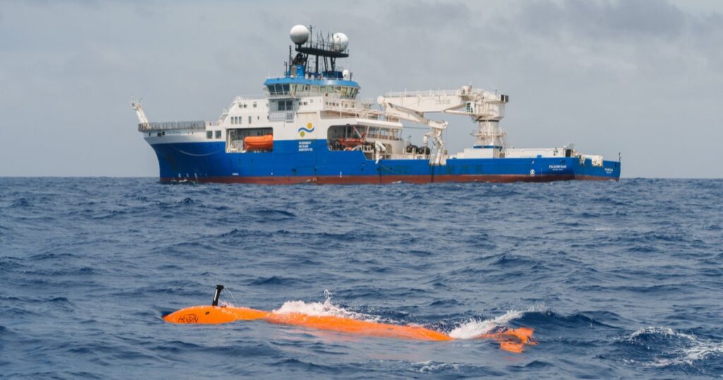
NOAA’s Office of Coast Survey is leading the project contract, with NOAA Ocean Exploration, BOEM, and USGS providing additional scientific expertise and guidance.