The transfer of momentum, heat, and moisture between the ocean and atmosphere plays a critical role in shaping when, where, and how intensely extreme weather events develop. Despite increasing recognition that these interactions are deeply interconnected, they’ve often been studied in isolation.
“This fragmented approach has led to an incomplete picture of how key factors, such as surface waves, ocean currents, and atmospheric turbulence, modulate fluxes under high-wind conditions,” said WHOI Physical Oceanographer Steven Jayne. “With the SASCWATCH program, we will be able to capture the full picture in real time.”
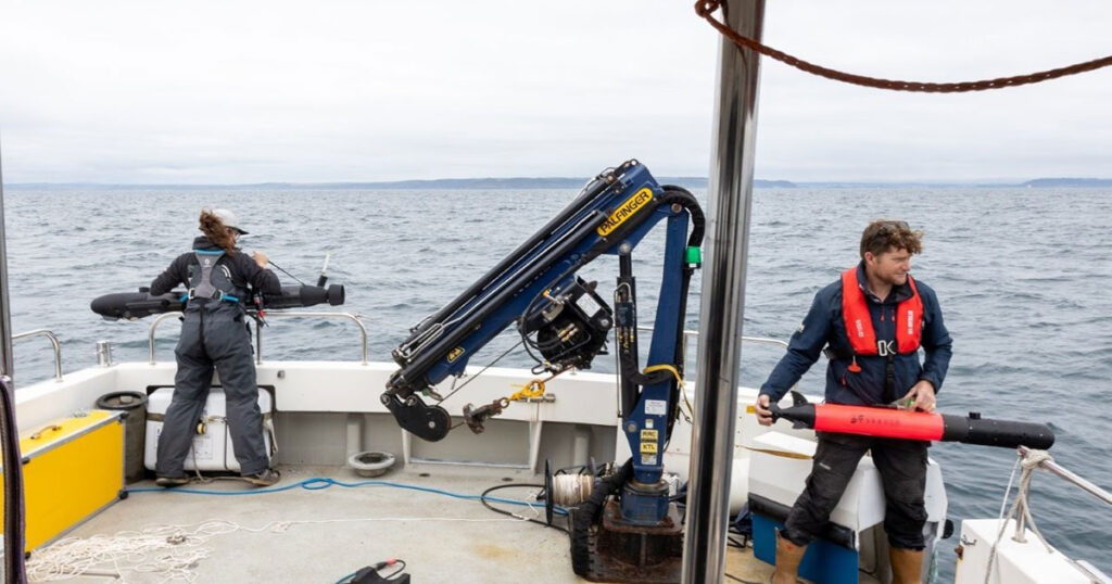
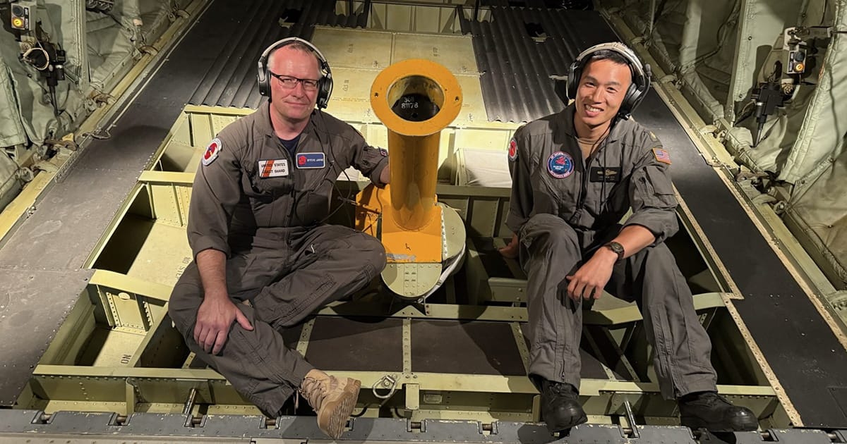
Jayne, a principal investigator of SASCWATCH, flies through major storms to deploy ocean monitoring tools as a member of the US Air Force Reserve’s Hurricane Hunters. His lab utilizes two kinds of ocean robots, Argo and ALAMO, to gather real-time water temperature and salinity data.
Argo floats are deployed in the ocean from ships and take a profile of temperature and salinity every 10 days. As of this month, there are more than 4,000 floating robots taking inventory of the upper 2,000 meters of the ocean, transmitting data back to shore every 10 days. During peak hurricane season, data transmission is more frequent, so near-real-time data is available to improve hurricane forecasts.
The Air-Launched Autonomous Micro Observer (ALAMO) is a smaller Argo-style profiling float that can be deployed through the chute installed in the back of a plane and communicate through satellite networks. Their size allows them to be more easily deployed out of aircraft, making ALAMO floats ideal for the rapid-response deployments necessary for studying shorter-term phenomena like hurricanes and other storms. Rather than mustering a slow-moving ship, air-deployable floats can utilize the Hurricane Hunter aircraft to deploy large numbers of instruments in and around developing hurricanes.