GeoAcoustics Ltd is supporting this effort through the integration of our latest sub-bottom profiler, GeoPulse 2. The system will form the core of the sub-seafloor sensing capability on board the new USV platform, providing the data needed to build volumetric images of the seabed and the sediment structures beneath.
High Performance Sub-Bottom Profiling
GeoPulse 2 is ideally suited to this role. With significantly increased power output over earlier generations of GeoPulse technology, the system delivers both greater penetration and improved resolution (up to 6 cm). In fine clay sediments, it can achieve penetration to 80 meters. In sand, penetration of 20 meters is typical. This balance of depth and detail allows for detailed interpretation of buried features such as sediment layers, geological contacts, and anthropogenic objects.
Importantly for a USV-based system, GeoPulse 2 has been designed with field reliability in mind. It is straightforward to integrate with existing GeoAcoustics transducers and can operate reliably under varying sea states and platform motion. This makes it a strong match for autonomous deployments where consistent, repeatable data collection is essential.
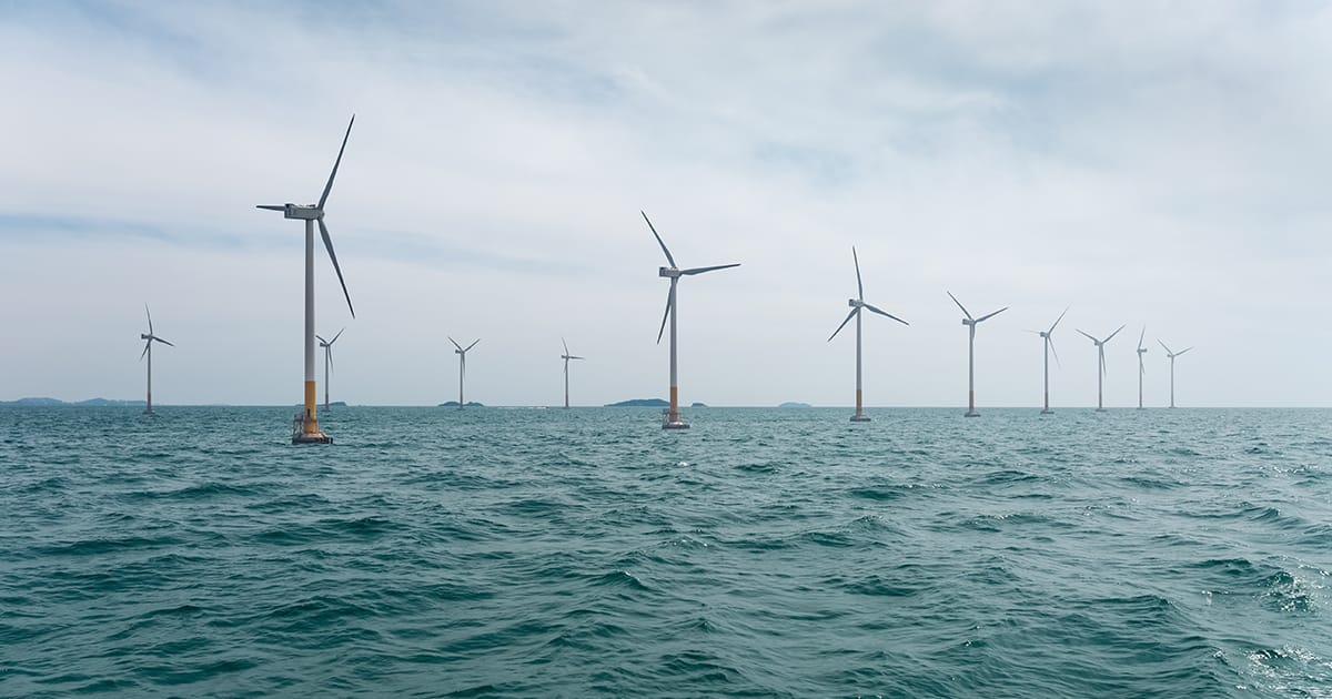
Geophysical Data for Wind Farm Developments
HydroSurv’s objective is to build a 3D imaging capability that will deliver a more complete picture of the sub-seafloor environment, supporting applications such as offshore wind farm planning, cable routing, and marine research. GeoPulse 2 provides the data acquisition foundation for this work, enabling the generation of dense, high-quality datasets that can be processed into volumetric models.
While HydroSurv drives this innovative project, GeoAcoustics’ role is central to delivering the geophysical capability. This collaboration demonstrates how proven acoustic technology can be adapted for evolving applications, supporting the wider industry shift toward uncrewed platforms, efficiency, and sustainability in offshore operations.