Sulmara’s answer was Sulmara Discover: a bespoke technology stack combining a high-resolution 3D Synthetic Aperture Sonar (SAS) sub-bottom system with inertial navigation and positioning sensors. This was mounted on a remotely operated uncrewed surface vessel (USV) to acquire data, with in-house software packages for processing, interpretation, and delivery. It’s the only system of its kind.
“Seaforth selected as our unique solution to deliver the performance they needed in a remote location with incredibly challenging seabed conditions,” said Darius Rivera, Sulmara Project Manager.
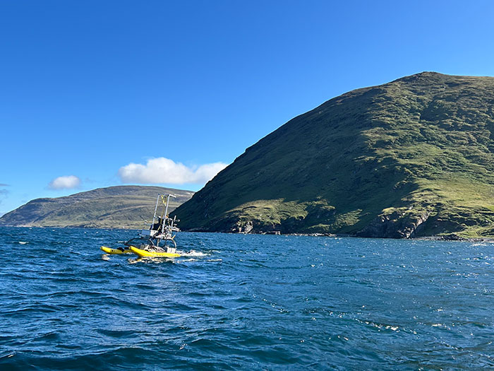
A Platform Built for the Challenge
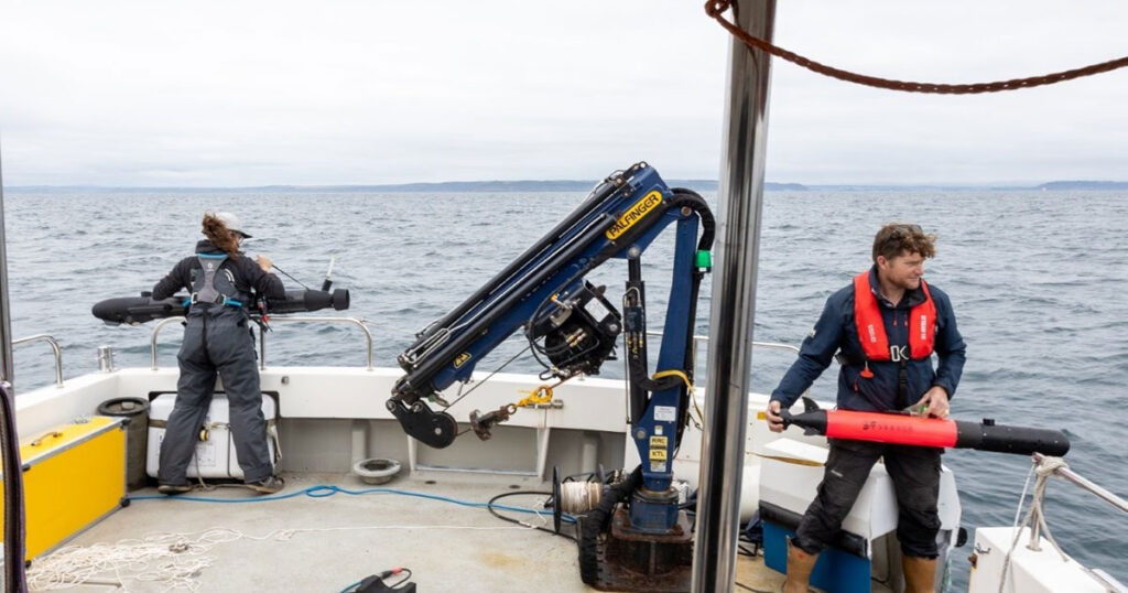
Sulmara used the WAM-V 16 USV, working closely with Seaforth to launch by crane from the Coriolis II mothership. The stability provided by the WAM-V 16’s independently mobile pontoons, along with the shallow draft, provides the perfect platform. The system was operated both locally and over-the-horizon from Sulmara’s Remote Operations Centre in Glasgow, UK.
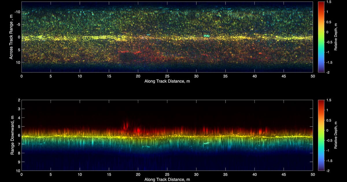
As part of the Sulmara Discover package, the WAM-V 16 was equipped with the EdgeTech Buried Object Scanning Sonar (eBOSS), providing high-resolution, three-dimensional sub-bottom data in an area with some of the world’s largest tidal ranges along a cable route littered with boulders above and below the seabed. This full-volume sub-bottom data set at 5cm resolution is collected across a 120° swathe, enabling rapid coverage over large areas.
Surface and buried boulders were mapped in size, depth, and density to allow the end client to assess cable burial or protection measures at several landfall locations.
“This survey represents a significant advancement in the ability to map both surface and subsea boulders. Conducting nearshore operations with the WAM-V 16 reduces costs while extending high-quality ground model coverage closer to shoreline landings. In contrast, a traditional survey approach, relying on sub-bottom profiling and side scan sonar, would require substantially more time and yield lower-quality information. The data provided by Sulmara Discover is invaluable for detecting and avoiding buried hazards, enabling better-informed decision-making for cable routing and burial operations,” said Kevin Rychert, Sulmara’s Principal Acoustic Scientist.
This was a team effort with Seaforth, with the companies working closely together through planning, execution and delivery phases of the project. The Discover deliverables were developed and adjusted according to feedback from Seaforth before being combined with data collected by Seaforth to deliver a comprehensive dataset of the seafloor and subsurface.
Ben Wentzell, Senior Geologist at Seaforth, said, “Sulmara’s commitment to quality was evident from initial mobilization through to final reporting. Their field and office teams worked closely with all parties, while consistently innovating and adapting to meet project specifications and deliverables. The use of the Discover workflow provided a turnkey geophysical and subsurface hazard solution for an exceptionally challenging environment.”
Solving a New Kind of Problem
Previous projects using ROVs or ROTV systems operate at a fixed, controlled distance from the seabed. This survey was different. Water depths shifted dramatically from less than one meter to 20 meters in a few meters, requiring continuous sensor adjustment and an entirely new approach to eBOSS data processing. This was made possible with Sulmara’s in-house software, developed specifically for eBOSS datasets. “Historically, they would be running on an ROV at a precise height above the seafloor,” highlights Dennis Wilson, Principal Development Scientist at Sulmara. “As we move to surface-mounted systems, the challenge is interpreting datasets acquired at a dynamic range in a single pass.”
Ultimately, the collaboration between Sulmara and Seaforth Geosurveys delivered a unique, high-quality dataset that gives the end client confidence to move forward to cable installation, safely, efficiently, and with certainty.