The new systems offer a spectrum of command and control options. These include direct operator control, supervised control with semi-autonomous capabilities like collision avoidance and dynamic course tracking, and, for certain circumstances, fully autonomous operations. The collaborative design of the vessels and uncrewed marine systems ensures that NOAA is compliant with regulations and helps to ensure safe operations.
“Uncrewed systems provide more efficiency in data collection, ensuring that our nation remains at the forefront of scientific innovation,” said Neil Jacobs, Ph.D., NOAA Administrator. “The Administration’s focus on integrating emerging technologies into agency operations allows NOAA to serve the public more effectively and demonstrate our leadership in scientific collaboration on the world stage.”
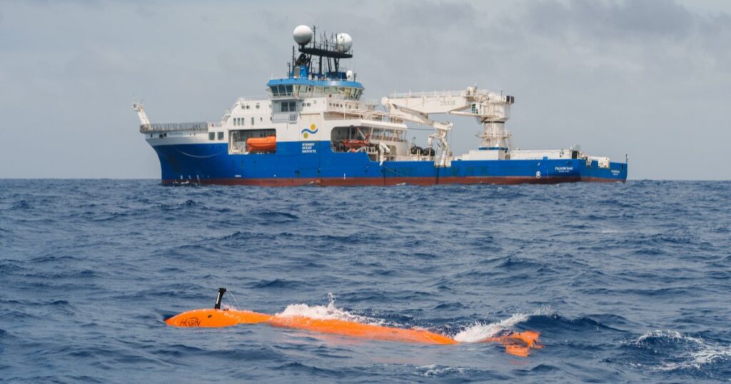
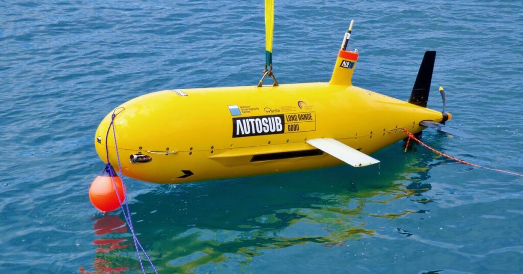
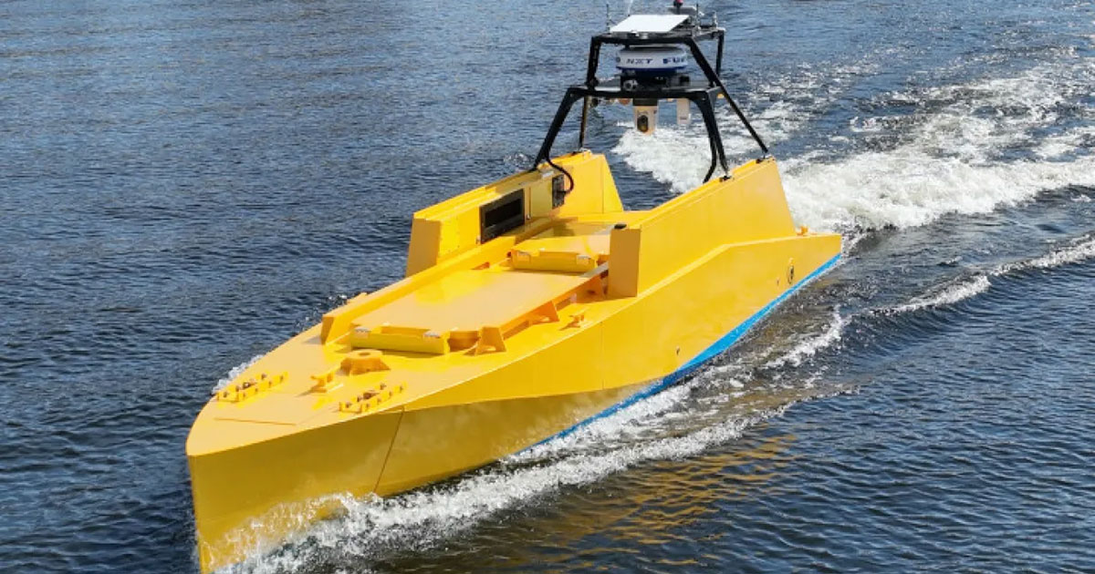
In 2025, NOAA hosted keel-laying events for two new charting and mapping vessels to expand the NOAA fleet. The uncrewed systems will be used on those vessels, Surveyor and Navigator, to complement traditional seafloor mapping methods. The systems will also be equipped to support other data collection efforts, such as fisheries acoustic surveys.
“NOAA is uniquely positioned to leverage cutting-edge maritime technology to efficiently collect data in some of the ocean’s most challenging regions,” said Rear Adm. Chad M. Cary, NOAA Corps Director and NOAA Marine and Aviation Operations assistant administrator. “Teaming these systems with Surveyor and Navigator achieves a major waypoint on the charted course to building the hybrid fleet of the future.”
NOAA Marine and Aviation Operations manages and operates NOAA’s fleet of 15 research and survey ships and 10 specialized environmental data-collecting aircraft. Operated and maintained by civilians and NOAA Commissioned Officer Corps officers, this fleet is one of the nation’s largest dedicated to federal research. The vessels—that range from large oceanographic research vessels to smaller charting ships—support a wide range of marine activities, including fisheries surveys, nautical charting, and ocean and marine studies.