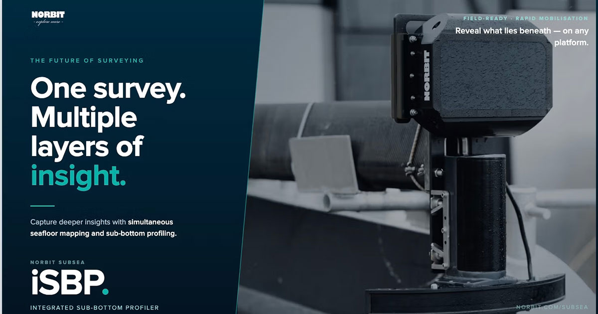
Designed for marine professionals who require both seafloor mapping and sub-surface information, the iSBP delivers high-performance sub-bottom profiling in a highly portable solution that integrates seamlessly with NORBIT’s X-series of multibeam systems.
By combining bathymetric mapping and sub-bottom data acquisition, surveyors can capture a more complete understanding of underwater environments and seabed conditions while reducing survey time and operational complexity. All datasets are collected within the same georeferenced framework, streamlining data processing and ensuring consistency across survey deliverables.
Key Features
- Fully integrated electronics
- Electronic beam steering up to ±10°
- Range resolution up to 5 cm
- Seamless integration with WINGHEAD X and WBMS X
- Simultaneous acquisition of bathymetric and sub-bottom data
Applications
- Marine geophysical surveys
- Inshore and nearshore mapping
- Geotechnical investigations
- Sediment characterization and sub-seafloor analysis
The introduction of iSBP further strengthens NORBIT’s commitment to delivering innovative, integrated survey solutions that improve efficiency, data quality, and operational flexibility for hydrographic and geophysical professionals worldwide.