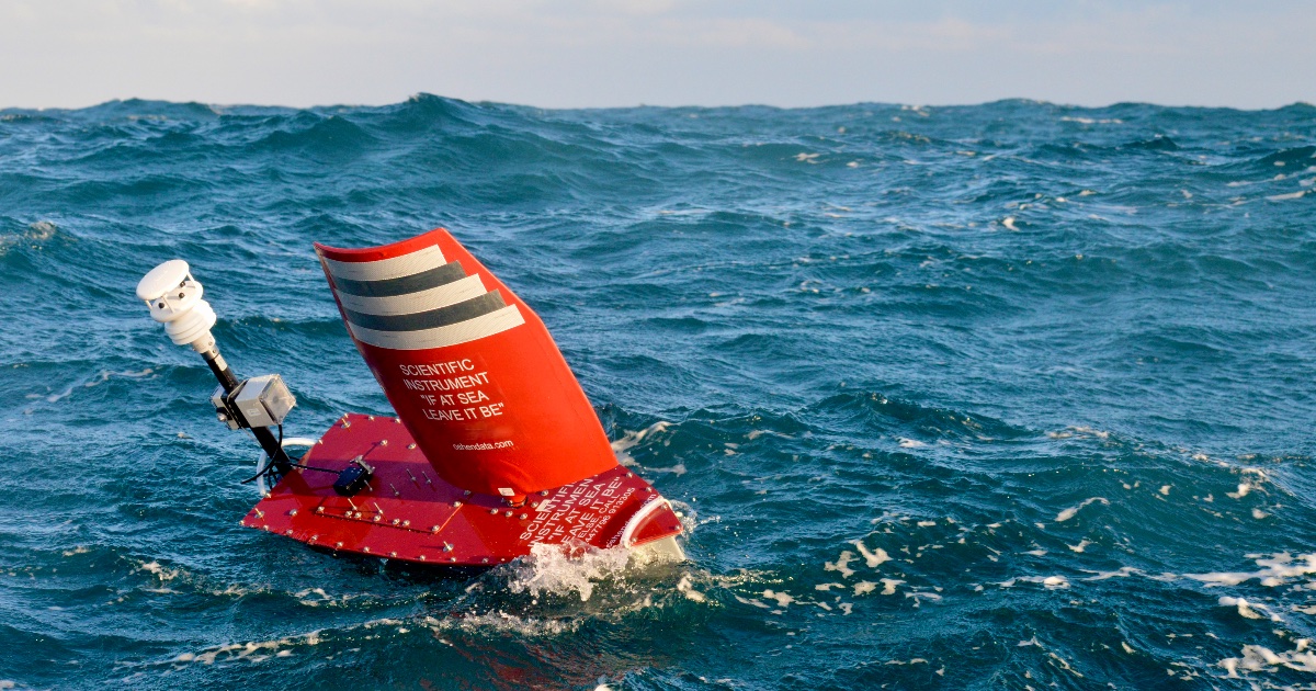
The two-week trial took place in the waters off Cat Island, Mississippi, and marked the latest phase in an ongoing collaboration between the US Navy’s Commander, Naval Meteorology and Oceanography Command (CNMOC) and Oshen.
C-Star PD1 navigated stronger-than-forecast currents to complete multiple bathymetric transects across the Cat Island Channel and ferry lane, using a single-beam echosounder suspended from its keel to capture hydrographic features such as a sloped seabed and dredged channel. Tidal curves were successfully recreated from station-keeping depth data, one of CNMOC’s key requirements, while speed and maneuver control capabilities were also tested: waypoint vs. heading control, and ability to sail slow, zig-zag patterns, with a view to search-and-rescue applications.
“Surveying littoral and shallow-water zones is critical to our operational readiness, but it presents unique environmental challenges,” said Dr. Stacy Johnson, Lead Scientist at the Naval Oceanographic Office (NAVO). “The modular physical and power architectures of Oshen’s platforms allow us to seamlessly integrate Navy-selected sensors, like the single-beam sonar we are using for this test. It gives us an unprecedented ability to sense and map these restrictive coastal environments safely and effectively.”
The ability to quickly deliver hydrographic surveys could benefit coastal communities impacted by major storms. Typhoons and hurricanes shift sand, move wrecks, and alter the depths of channels. This can render ports inoperable just when they are needed most: ships delivering disaster relief, fuel, and food will be reluctant to head into affected areas for fear of running aground or hitting sunken debris. New charts highlighting changes to local underwater topography are urgently required.
Seabed mapping normally requires specialist hydrographic survey vessels. Because these are scarce, expensive, and slow to mobilize, weeks or months can pass between a storm hitting and an area being deemed safe for navigation. Oshen’s low-cost, self-sailing robot boats can close the gap: fitted with the same single-beam echo sounder used in the US Navy trial, they can quickly scan changes to the seabed to depths of around 80 meters, sufficient for the majority of the world’s port areas.