Real-Time Ocean Data in a Data-Sparse Environment
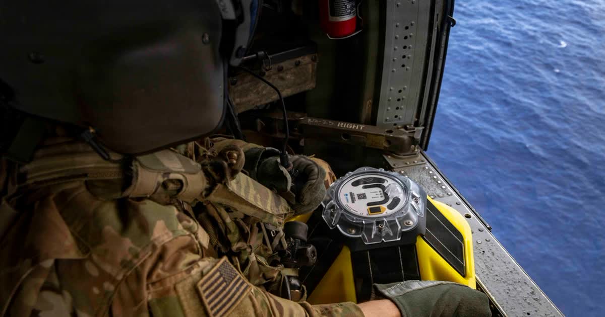
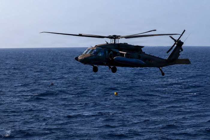
On April 28, 2026, two UH-60 Black Hawk aircrews from Task Force Saber, 25th Combat Aviation Brigade, air-deployed Spotters into the Luzon Strait. The deployment was coordinated through the USINDOPACOM Science and Technology Division, integrating real-time ocean intelligence directly into the exercise.
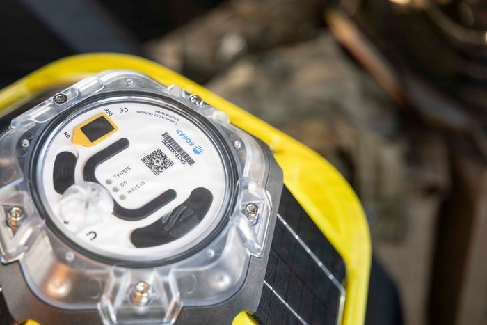
Spotter measures waves, temperature, wind, and barometric pressure and delivers that data in real time to the 3rd MLR to inform critical decision-making during amphibious operations.
Enabling Operational Decision-Making
Spotter data was fed directly into command decision-making during the Maritime Key Terrain Security Operations (MKTSO) event, which ran from April 20 to May 5. Forces conducted air assault, amphibious landing, airfield seizure, reconnaissance, and ground refueling operations across the archipelago.
During that event, data from Spotter was used to inform commanders of ocean surface conditions during their decision-making processes. Specifically, it advised the complex logistical movements of the 3rd MLR’s Navy-Marine Expeditionary Ship Interdiction System (NMESIS) and the US Army’s M142 High Mobility Artillery Rocket System (HIMARS) to critical locations, furthering the 3rd MLR’s ability to support combined and joint operations.
The Challenge of Island Environments
David Ramsaur, Sofar Ocean’s technical representative, oversaw the deployment, trained UH-60 crew chiefs on proper air-deployment procedures, and flew aboard the mission to ensure successful execution. He worked with the 3rd MLR to determine optimal placement for data collection and to account for post-deployment drift, then compiled and submitted that information to Task Force Saber through an air mission request.
“One of the biggest environmental challenges in deploying buoys between islands is predicting how the buoy will drift once it is in the water. In these environments, local currents, wind patterns, sea state, and the geography of the surrounding islands can all influence movement in ways that are difficult to model precisely ahead of time,” said David Ramsaur, Sofar Ocean industry partner technical representative.
Part of a Larger, Integrated Operation
The Spotter deployment was one piece of a much larger exercise. Balikatan 2026 brought together a multinational force including the Philippines, US, and five allied and partner nations, operating across air, land, and sea. Together, they coordinated strikes, logistics, and intelligence collection across vast distances and complex island geography.
That level of multinational coordination depends on shared situational awareness. Real-time ocean data from Spotter contributed to the common operating picture that commanders across services and nations were working from, informing not just where assets could move, but when and how.
What This Demonstrates
Balikatan 2026 showed that real-time ocean intelligence is a requirement for modern littoral operations. Moving weapon systems across open water, timing amphibious landings, and coordinating multinational forces across an archipelago all depend on knowing what the sea is actually doing in the moment.
Air-deployed, rapidly positioned, and feeding live data to commanders in the field, Spotter proved its value as an operational tool during the most expansive iteration of Balikatan to date.