“Florida’s coastline is one of our state’s greatest natural and economic assets, supporting millions of residents, tourism, commercial fisheries, and critical infrastructure,” said DEP Secretary Alexis A. Lambert. “Understanding the seafloor and the features that shape our coast helps us make smart decisions about protecting communities, strengthening resilience, and investing taxpayer dollars where they will have the greatest impact.”
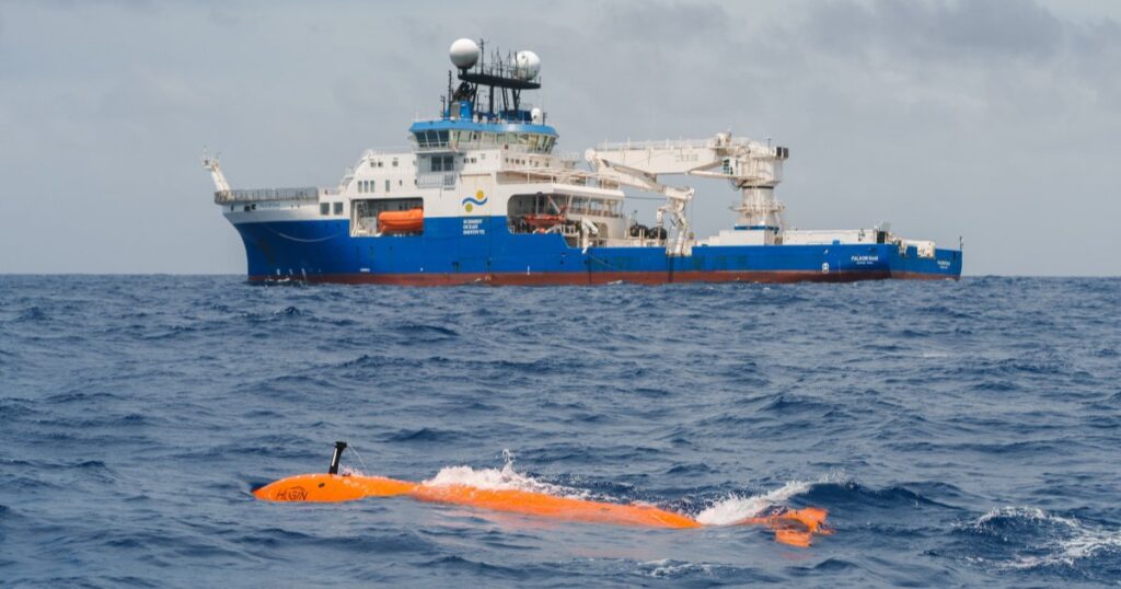
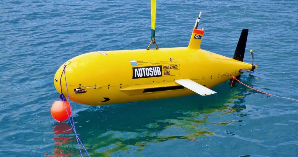
FSMI uses advanced technologies to capture detailed bathymetric data across shallow and deepwater environments. Airborne LiDAR systems measure water depths using laser pulses, while vessel-based multibeam sonar maps deeper waters in high resolution.
High-resolution seafloor data support a wide range of coastal management decisions, including identifying offshore sand sources for beach nourishment, improving storm surge and flood modeling, and guiding the protection and restoration of coral reefs and seagrass beds.
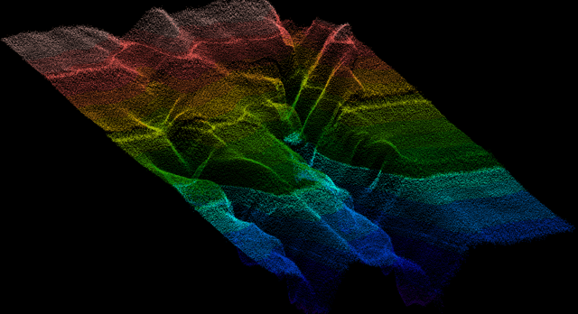
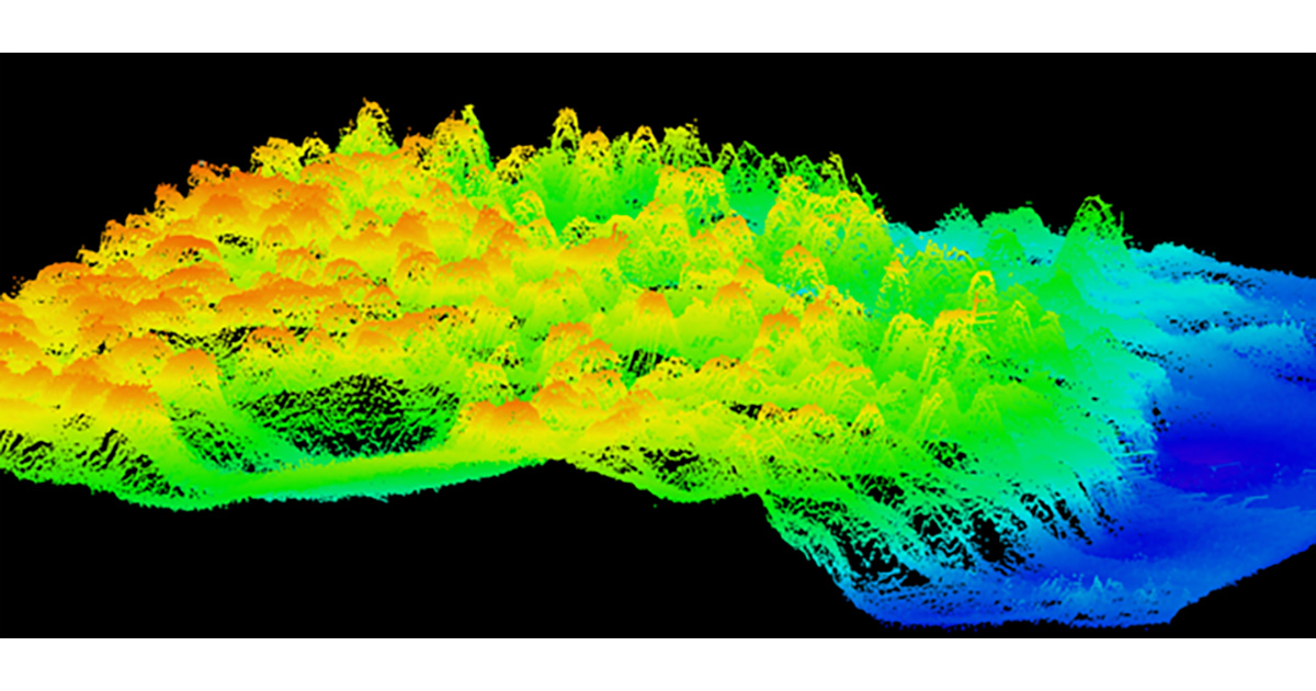
These newly discovered paleoriver channels near Miami help explain patterns in sediment movement, habitat distribution, and coastal erosion, giving scientists and planners critical information to guide future beach restoration, habitat protection, and resilient infrastructure projects. (Image credit: FLDEP)
“Through FSMI, we have mapped more than 75,500 square kilometers using LiDAR and more than 64,000 square kilometers using sonar technologies,” said Florida Geographic Information Officer Kimberly Jackson. “Before this initiative began, only about 25,600 square kilometers of Florida’s seafloor had been mapped. Today, we have mapped more than 14 times that amount, giving Florida an unprecedented understanding of its underwater landscape.”
Early analysis of the data is already revealing new insights about Florida’s unique continental shelf, including ancient shorelines, buried river channels, karst formations, and offshore sand resources.
Scientists have also identified previously unknown mesophotic coral reefs, an ecosystem that thrives in deeper waters with lower light levels than Florida’s shallow reefs. DEP is collaborating with the National Oceanic and Atmospheric Administration to further study these reefs through remotely operated vehicle dives and scientific sampling to better understand their ecological importance and how they may contribute to Florida’s marine biodiversity.
FSMI data is being integrated with inland elevation datasets through collaboration with the US Geological Survey’s Coastal National Elevation Database Applications Project. This effort will create a seamless statewide digital elevation model extending from Florida’s uplands to offshore bathymetry, giving planners and decision-makers a more complete view of the state’s landscape to guide resilient and cost-effective investments.
For more information about the Florida Seafloor Mapping Initiative, visit FloridaGIO.gov.