Established in 1962 in The Hague, the NSHC comprises Belgium, Denmark, France, Germany, Iceland, Ireland, the Netherlands, Norway, Sweden, and the UK. The Commission provides a longstanding framework for cooperation on hydrographic surveying, charting, and the exchange of maritime information, including coordination of survey activity beyond national waters.
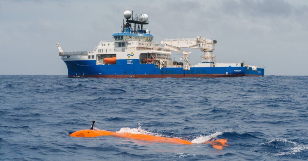
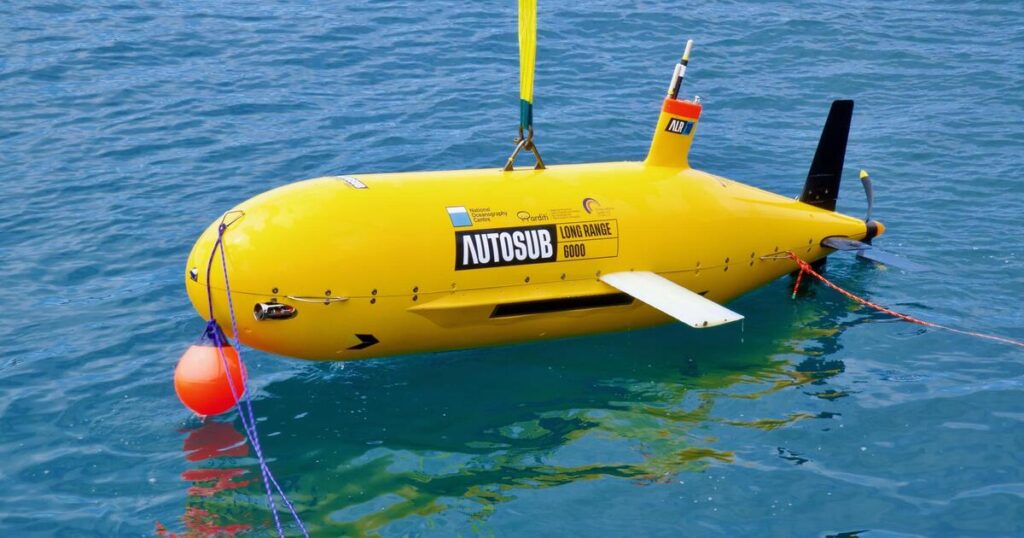
Seabed 2030 is a collaborative project between The Nippon Foundation and the General Bathymetric Chart of the Oceans (GEBCO), which seeks to inspire the complete mapping of the world’s ocean by 2030, and to compile all the data into the freely available GEBCO Ocean Map. The Project is formally endorsed as a Decade Action of the UN Ocean Decade. GEBCO is a joint program of the International Hydrographic Organization (IHO) and the Intergovernmental Oceanographic Commission (IOC) and is the only organization with a mandate to map the entire ocean floor.
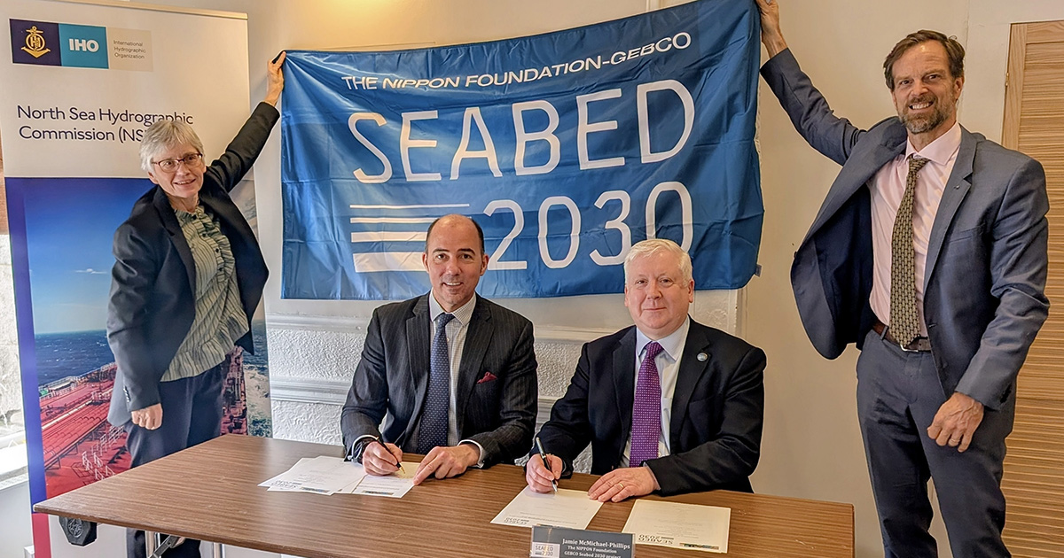
The new partnership was formalized with a Memorandum of Understanding signed at the 39th Meeting of the North Sea Hydrographic Commission in Aberdeen, Scotland, by Rear Admiral Angus Essenhigh OBE, UK National Hydrographer and Director of Data Acquisition and Defense at the UK Hydrographic Office, on behalf of the NSHC and Seabed 2030 Director Jamie McMichael-Phillips.
By bringing together multiple national hydrographic offices under a single framework, the partnership strengthens regional coordination, supporting data sharing and reinforcing the collective commitment of North Sea nations to advancing seabed mapping.
Commenting on the announcement, Jamie McMichael-Phillips said: “The North Sea region has a long history of hydrographic excellence and cooperation, and we are delighted to formalize our partnership with the Commission in support of Seabed 2030’s global mission.
“Partnerships of this nature help ensure that data collected at national and regional levels can be brought together effectively, strengthening the global bathymetric dataset and supporting progress towards a complete map of the ocean floor.”
Rear Admiral Angus Essenhigh OBE said: “The NSHC has a long-standing commitment to cooperation in support of safe navigation and improved understanding of our waters. This partnership with Seabed 2030 builds on that legacy, enabling Member States to further coordinate survey activity and contribute bathymetric data.”
GEBCO Chair, Evert Flier, added: “The NSHC represents a strong and well-established model of regional collaboration. Its partnership with Seabed 2030 highlights the importance of coordinated hydrographic efforts in ensuring that high-quality bathymetric data is shared, integrated, and made available for the widest possible use. This includes providing high-quality bathymetric data to the GEBCO grid via EMODNet and Seabed 2030.”
All data collected and shared with the Seabed 2030 project is included in the free and publicly available GEBCO global grid.