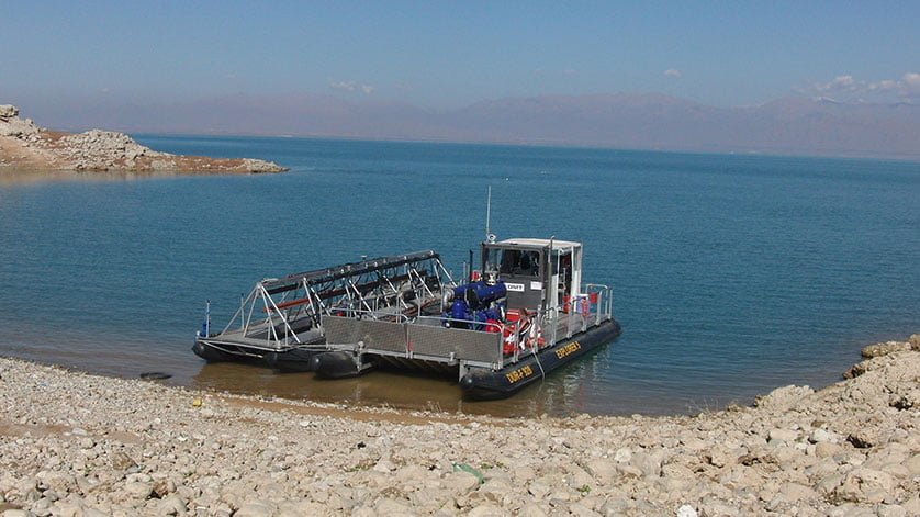
In the Jordanian part of the sea, in the south-eastern area, depths, reliefs and coastal lines are to be mapped. In addition, the layers and sediments below the seabed will be explored and characterized. The aim of this geophysical ground survey is to create a subsurface model for a planned pumping station, which will transport water from the Dead Sea to the potash production plant.
“This highly demanding and interesting project supports DMT’s strategy to expand our business activities in this region,” explains Prof. Eiko Räkers, CEO. The survey, including a bathymetric survey as well as shallow water seismic investigation in an area of approximately 14 km² and a coastal topographic survey, will be carried out over a period of 2 to 3 months.