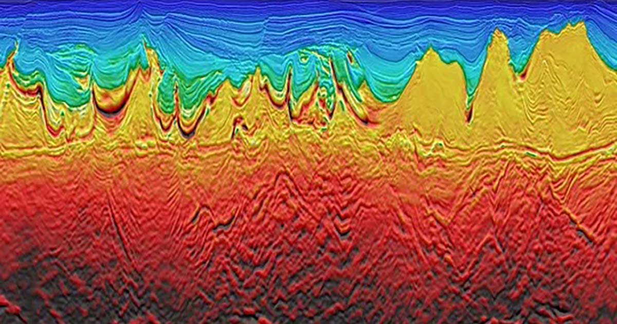
Through this agreement, Viridien will deploy its high-end imaging technologies and advanced workflows to significantly enhance data quality and subsurface insight. A regional geological study, based on this newly integrated dataset, will also provide a much clearer view of the petroleum systems and prospectivity of Malta’s offshore acreage, supporting future licensing activity and more informed investment decisions.
This initiative marks a strategic expansion of Viridien’s Earth Data offering in the Mediterranean, one of the world’s most active offshore exploration frontiers.
Dechun Lin, Head of Earth Data, Viridien: “This agreement underscores our strategy of investing in high-impact, partnered projects that drive new exploration and future energy supply. Malta’s favorable geology and strategic location offer an exciting opportunity for E&P companies looking to capture emerging oil and gas potential in the Mediterranean.”