Operating across the European offshore market, MEWO provides a comprehensive range of marine survey services, from data acquisition and processing through analysis, interpretation, and visualization. Its work spans the Baltic, Mediterranean, and North Seas and supports global projects within the offshore industry, offshore wind energy development, subsea telecommunications, and marine science.
Seabed 2030 is a collaborative project between The Nippon Foundation and the General Bathymetric Chart of the Oceans (GEBCO), accelerating the complete mapping of the world’s ocean, and working to compile all the data into the freely available GEBCO Ocean Map. The Project is formally endorsed as a Decade Action of the UN Ocean Decade. GEBCO is a joint program of the International Hydrographic Organization (IHO) and the Intergovernmental Oceanographic Commission (IOC) of UNESCO, and is the only organization with a mandate to map the entire ocean floor.
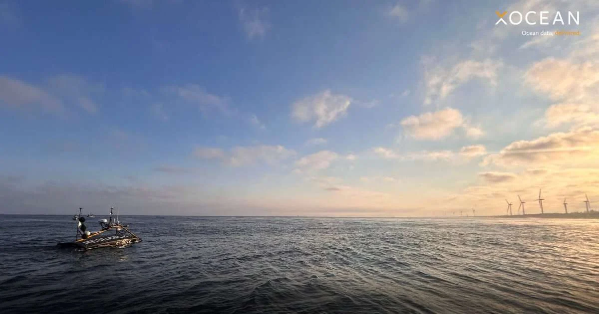
MEWO’s geophysical capabilities include hydrographic surveys, spanning the acquisition and processing of bathymetric, seismic, and sonar data through to interpretation and presentation. Its survey teams use multibeam echosounders and other specialized equipment to gather detailed information on the seabed.
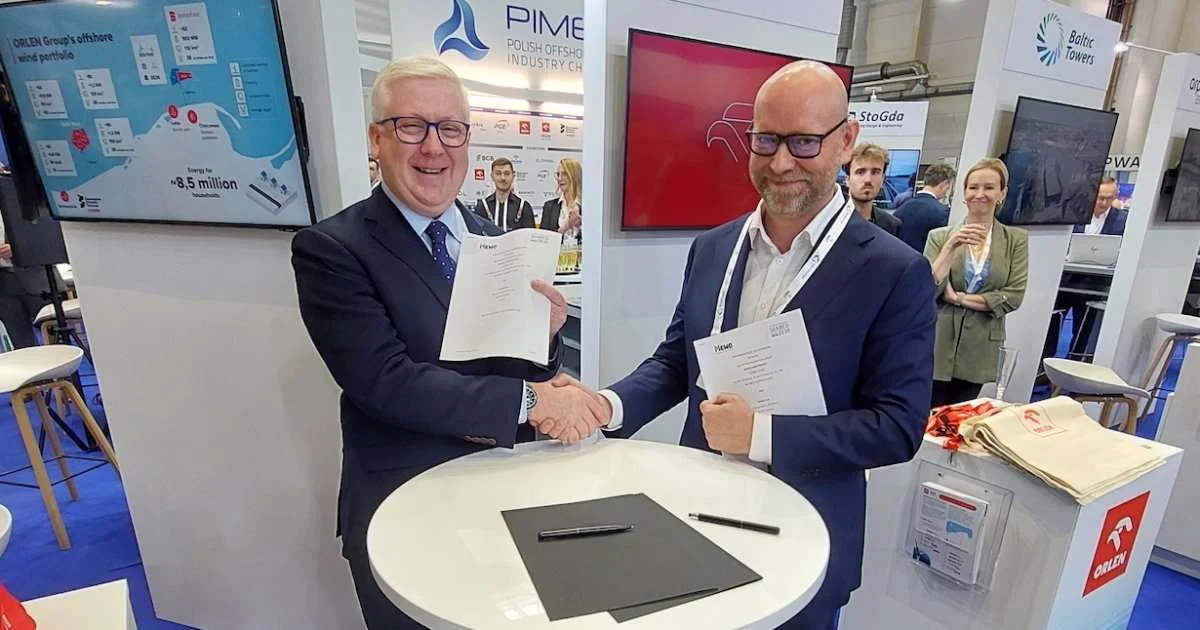
The partnership will see MEWO contribute its marine surveying expertise to Seabed 2030’s growing global network, creating opportunities to support the contribution of bathymetric data and advance the collective effort to complete the map of the ocean floor.
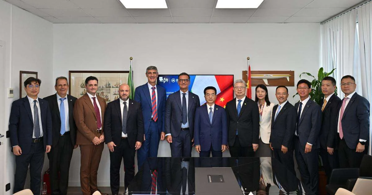
The collaboration was formalized at WindEnergy Hamburg 2026, one of the world’s leading events for the wind energy sector.
Seabed 2030 Director Jamie McMichael-Phillips said: “The expertise and capabilities of organizations working directly at sea are invaluable to the global effort to improve our understanding of the ocean floor.
“MEWO brings extensive experience in hydrographic and geophysical surveying, together with the technical expertise needed to acquire, process, and interpret high-quality marine data, and we are delighted to welcome them to the Seabed 2030 community.”
Paweł Gajewski, President of the Board at MEWO, said: “Through MEWO’s work across the European offshore market, we see firsthand how a better understanding of the seabed supports informed decision-making—from the development of offshore infrastructure to the sustainable use of the marine environment.
“Joining Seabed 2030 gives us an opportunity to contribute our expertise and data to a truly global collaborative effort. We’re looking forward to supporting the shared ambition of improving knowledge of the ocean floor.”
MEWO’s survey capabilities are supported by specialized vessels and equipment, including multibeam echosounders, seismic equipment, side-scan sonars, and remotely operated vehicles (ROVs). The company’s geophysical team includes specialists in hydrography, geophysics, and oceanology, among other disciplines.
The partnership reflects the important role that commercial survey organizations can play in expanding the bathymetric data available for wider scientific and societal use. By working with organizations collecting data during offshore operations, Seabed 2030 seeks to encourage the sharing of suitable existing and newly acquired data, and maximize the value of information already being gathered at sea.
All data collected and shared with the Seabed 2030 Project is included in the free and publicly available GEBCO global grid.