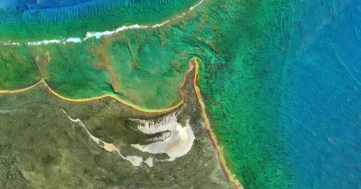
Under the contract, Fugro will conduct hydrographic surveys across approximately 3,200 square kilometers of Florida’s Atlantic waters. The data will be used by NOAA’s Office of Coast Survey to update nautical charts that support commercial shipping, government operations, recreational boating, and other maritime activities that are essential to the region’s economy.
As severe storms and commercial expansions rapidly reshape Florida’s coastlines, accurate seafloor data is vital for maritime safety and economic stability. NOAA’s continuous hydrographic updates directly protect billions in trade along the Atlantic and Gulf Intracoastal Waterways, prevent hazardous groundings in shifting shallow inlets, and provide the precise bathymetry needed to shield vulnerable marine ecosystems.
“Reliable Geo-data is essential for safe navigation, efficient maritime operations and understanding how our coastal environments are changing over time,” said Céline Gerson, Group Director, Americas. “We are proud that NOAA has once again selected Fugro to support this important work. By combining our expertise in hydrography, advanced mapping technologies and data analytics, we are helping provide the accurate information that mariners, coastal communities and decision-makers depend on.”
The project builds on Fugro’s longstanding relationship with NOAA and follows the company’s recent hydrographic survey work along Florida’s Gulf Coast. Fugro has been supporting marine mapping initiatives throughout Florida and the wider United States. As part of the Florida Seafloor Mapping Initiative, Fugro has contributed to the mapping of more than 56,000 square kilometers of Florida waters, helping create one of the most comprehensive collections of seabed data in the region.