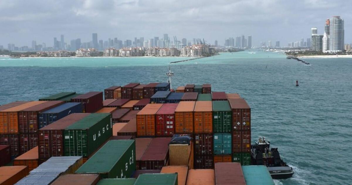
Whether you live hundreds of miles from a coastline or a few steps from the water, ocean, lake, and river data plays a significant part in your life. Vessels critical to national security, transporting the food you eat and clothes you wear, and even vacation cruises need to ensure safe passage through the nation’s waterways. Data from NOAA’s uncrewed systems are vital for vessels’ decision making within US coasts and lakes.
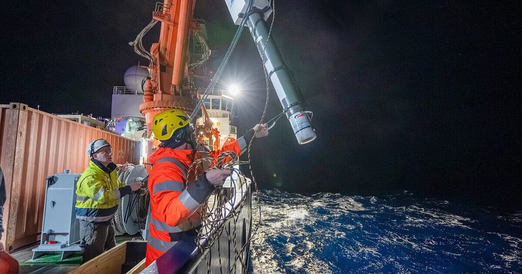
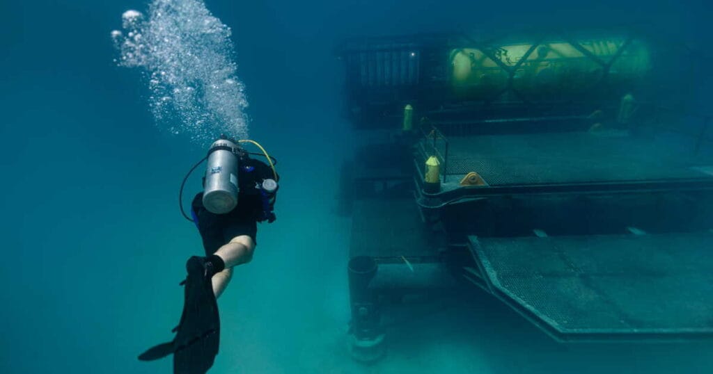
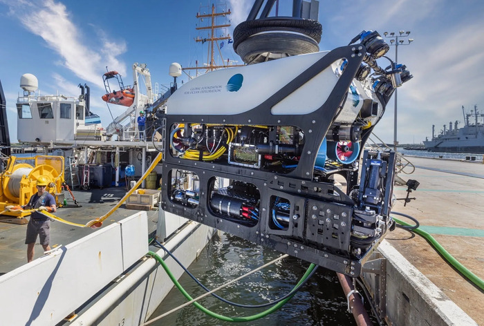
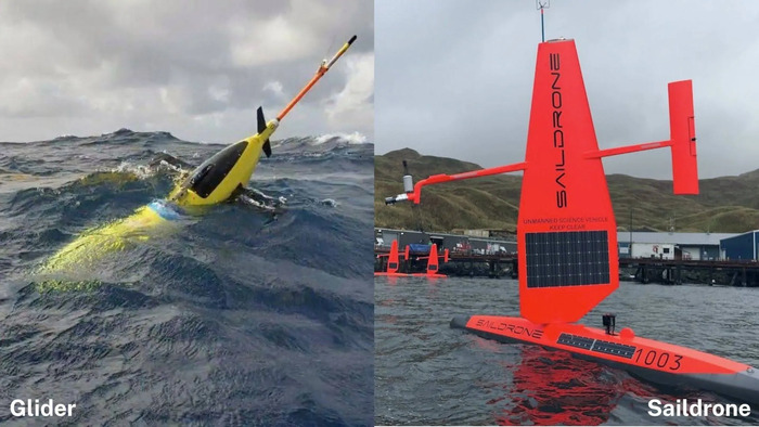
Uncrewed Systems (UxS), or autonomous vehicles, are one of these key tools used to collect this data from the waterways, especially underwater areas that are too dangerous for human beings to access. Within NESDIS, the National Centers for Environmental Information (NCEI) collects, archives, manages, and provides the data from UxS to the public. They gather vast amounts of data that decision-makers and industries use to enhance the safety and efficiency of vessel transportation.
Bathymetry
A critical function of UxS is the collection of high-resolution bathymetric data. Using advanced sonar systems, these tools collect the data used to create detailed maps of the seafloor. These underwater maps are then used for updating official nautical charts for safe navigation. They can reveal hidden dangers like submerged ship and boat wrecks, shifting sandbars, and other underwater obstructions like canyons. Knowing where these perilous obstacles exist prevents costly groundings and accidents, especially for the large vessels operating in coastal ports.
Ocean Currents
UxS also measures water temperature and salinity to determine the speed and direction of water currents. This data is invaluable for vessel planning of routes. This data is available from NCEI in near-real-time, helping vessels avoid strong opposing currents or take advantage of favorable ones to maintain safety and increase efficiency on their journeys. This strategic work not only saves time and fuel but ensures predictable arrival times and improves supply chain reliability.
The data gathered are managed, preserved, and provided to the public by scientists at NCEI. That data can be used not only by decision-makers and the maritime industry, but can also be analyzed by researchers to provide information for future safe vessel movement on the nation’s waterways. This data helps the maritime and shipping industry make safer and more efficient choices every day as they navigate the unpredictable flow of lakes, rivers, and the ocean.