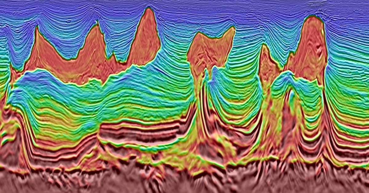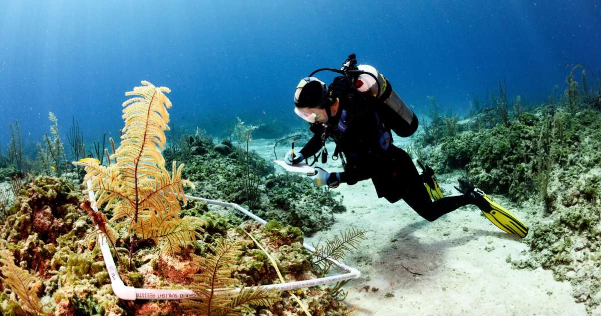

Accurate seafloor maps are vital for safe and efficient maritime transportation, natural resource management, and improved forecasts of storm surges resulting from hurricanes and other tropical weather events.
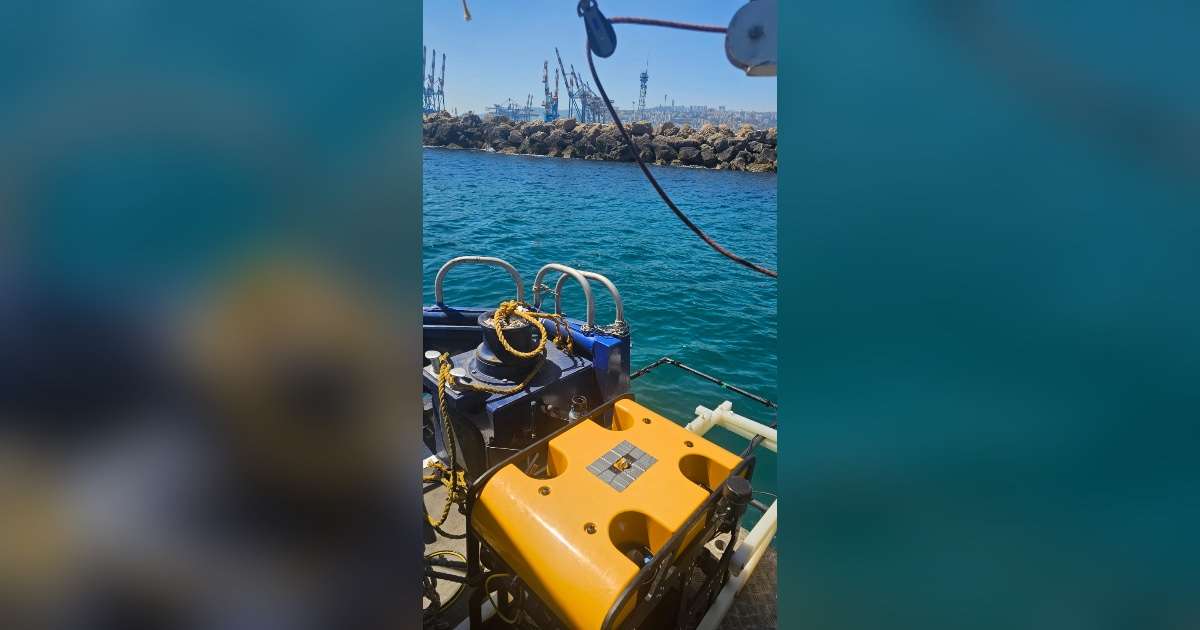
COMIT, which was launched with a $9 million award from NOAA in 2020, provides research on new technologies and approaches to map the seafloor. True to its name, the center develops and tests innovative solutions that expand on traditional sonar methods, helping pioneer the use of autonomous vehicles, crowdsourced data, and public-private partnerships for cost-efficient operations.
“The Center for Ocean Mapping and Innovative Technologies at USF is providing cutting-edge approaches to the collection, analysis, development, and use of mapping products critical to our nation’s ocean and coastal priorities,” said Rear Admiral Christiaan van Westendorp, director of NOAA’s Office of Coast Survey. “We look forward to continuing our partnership with the center’s outstanding scientists.”
Since its inception, COMIT has set the pace for ocean mapping across the United States. The center specializes in the development of approaches to map shallow, nearshore waters, which are particularly difficult and expensive to map with traditional sonar-based methods. COMIT’s innovative approaches have been lauded and adopted by researchers around the world.
“COMIT researchers are using advanced technologies to collect and analyze topographic and bathymetric information,” said Steven Murawski, director of COMIT and professor in the College of Marine Science. “The next five years will witness rapid advances in the processing of such information using artificial intelligence and machine learning methods.”
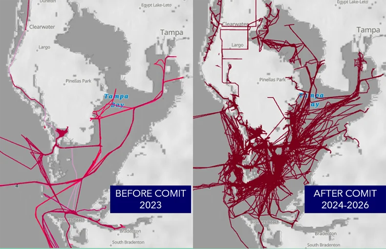
Researchers in the College of Marine Science are being joined by faculty from the USF College of Engineering and the new Bellini College of Artificial Intelligence, Cybersecurity and Computing to accomplish the objectives of the new cooperative agreement, which include leveraging artificial intelligence and applied engineering for mapping and data-processing efforts.
In the lab of Xiaomin Lin, researchers place multimodal AI directly on robotic vehicles, so the vehicles can interpret what they “see” while they are still in the water, allowing them to make modifications to the survey instead of waiting for the data to come back to shore.
“AI and robotics are rapidly advancing the field of seafloor mapping,” said Lin, assistant professor of electrical and computer engineering in the USF College of Engineering and a partner in the new agreement. “The ocean is a hard place to see clearly. Light scatters, sonar returns are noisy, and a vehicle has to make its own decisions once it is away from the ship. I am excited to join forces with Dr. Murawski and his team to test these tools in real conditions and improve the accuracy and efficiency of hydrography.”
For Tom Frazer, dean of the College of Marine Science, the award represents the broad strength of science and research across USF.
“This agreement brings the full expertise of the University of South Florida to bear on problems of navigational safety and coastal resilience, which are of paramount importance to citizens across Florida and in coastal communities throughout the southeastern US,” Frazer said. “The center is ready to tackle these issues while ensuring that we’re providing our students with the proper training to incorporate artificial intelligence responsibly into scientific endeavors. We are grateful to the leadership of NOAA for their confidence in us to accomplish these critical missions.”